The road & its landscape
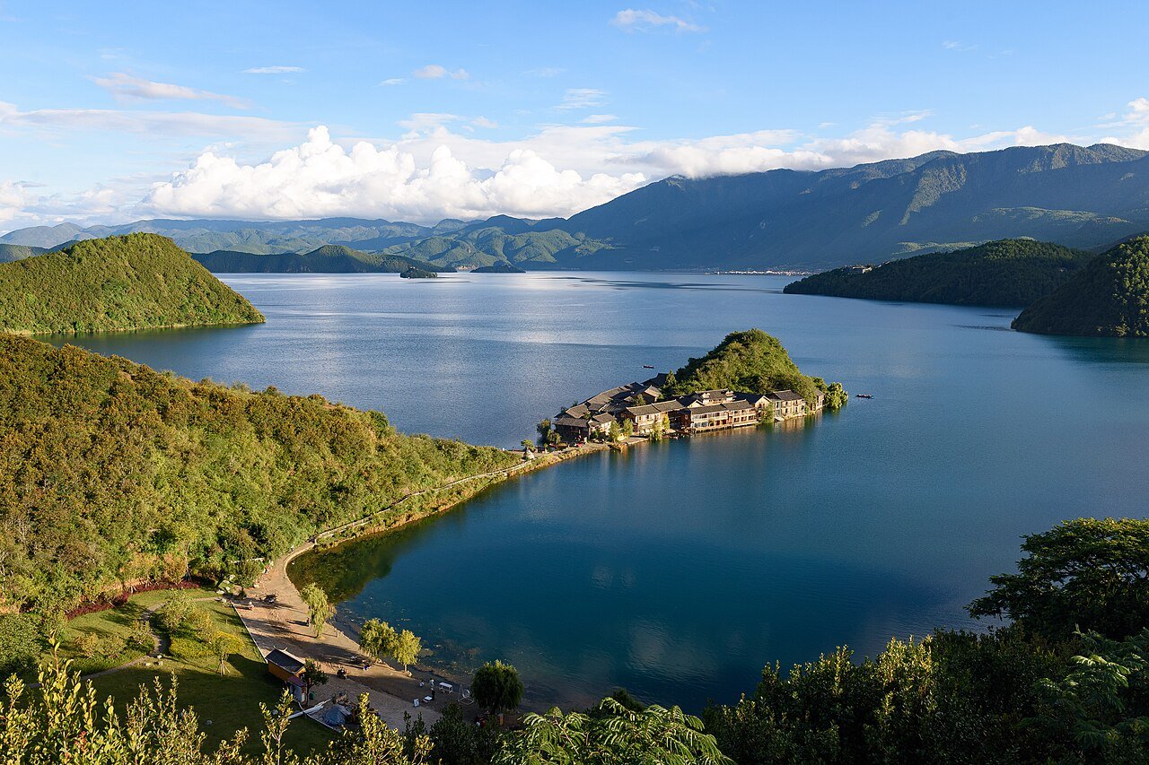
Lugu Lake offers a more intimate riding rhythm than the high-plateau lakes. Bays, shoreline bends and villages repeatedly change the view, with higher viewpoints revealing the shape of the water below.
Confirm current road opening, motorcycle admission and stopping arrangements. The public-road approach, internal scenic-area transport and any sand or gravel riding are separate parts of the journey.
Scenery along the road
Lugu Lake offers a more intimate riding rhythm than the high-plateau lakes. Bays, shoreline bends and villages repeatedly change the view, with higher viewpoints revealing the shape of the water below.
Daluoshui to Lige
The western-side journey mixes village streets and lake views. Slow down through settlements and choose authorised pull-offs.
Lige and higher viewpoints
Higher views explain the peninsulas and bays. They are viewpoints to reach and park at, not places to stop in a road bend.
Dazu to Caohai
The eastern and southern stages change the foreground towards villages and wetland. Keep wetland boardwalks separate from the motorcycle itinerary.
Road photographs
Look at the bends, road surface and landscape beside the carriageway. Each caption identifies the location; other roads in the range are marked separately.
Jason Zhang · CC BY-SA 3.0 · Thumbnail / display crop · Licence
Road conditions & preparation
Plan each stage around altitude, seasonal weather, fuel, accommodation and the road surface. Confirm distances and daily riding times against the actual road line you choose, and make separate arrangements for scenic-area transfers or specialised off-road sections.
Destination landscapes
Photographs identify their actual location, author and licence. Viewpoints away from the riding corridor are stated in the captions; photographs are not verified ride records.
N509FZ · CC BY-SA 4.0 · Thumbnail / display crop · Licence
Toni Wöhrl · CC BY-SA 4.0 · Thumbnail / display crop · Licence
Jason Zhang · CC BY-SA 3.0 · Thumbnail / display crop · Licence
Sources & provenance
Summarised from public sources. A historic tourism plan describes a corridor, not current road access. Track authors retain ownership of their files.