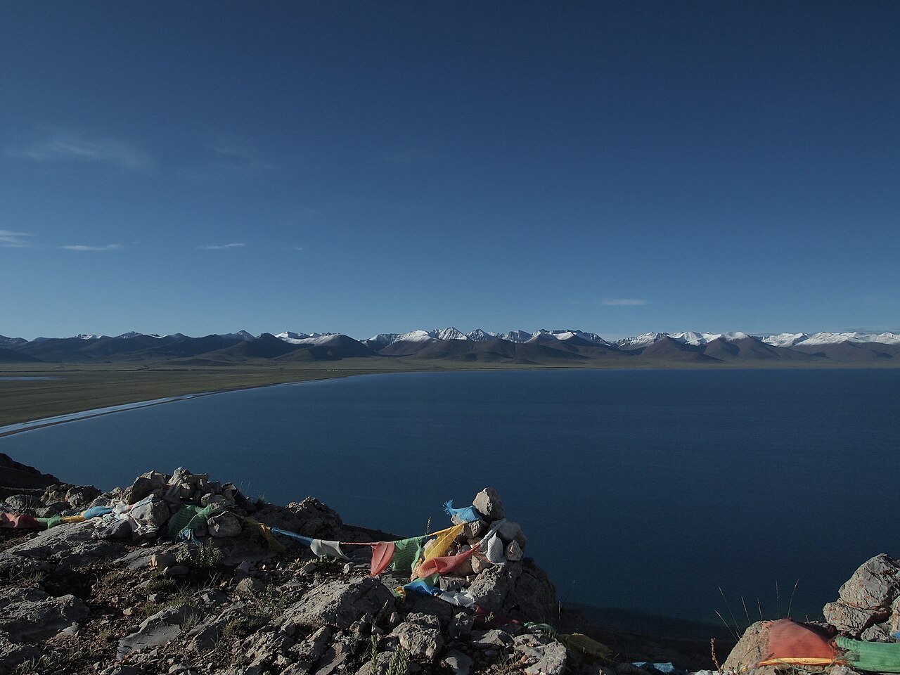
The road & its landscape
The approach climbs from the Damxung grasslands towards Nagen La before the lake opens beneath the mountains. The reveal of water and the Nyenchen Tanglha horizon is the defining experience; internal scenic-area transport is a separate part of the visit.
Confirm current road opening, motorcycle admission and stopping arrangements. The public-road approach, internal scenic-area transport and any sand or gravel riding are separate parts of the journey. The Nagen La viewing platform entered refurbishment in September 2026; its stopping area must not be assumed available.
Scenery along the road
The approach climbs from the Damxung grasslands towards Nagen La before the lake opens beneath the mountains. The reveal of water and the Nyenchen Tanglha horizon is the defining experience; internal scenic-area transport is a separate part of the visit.
Damxung grassland
Open pasture provides the foreground before the lake approach. The changing relation of road, grass and snow peaks is the main visual thread.
Nagen La approach
The climb changes the scale from grassland to a high pass. The viewing platform entered a refurbishment programme in September 2026; do not assume that stopping there is available.
Lake visitor centre
The lake becomes the dominant horizon. Follow the operator’s current transfer arrangements rather than assuming a motorcycle can reach every shore.
Road conditions & preparation
Plan each stage around altitude, seasonal weather, fuel, accommodation and the road surface. Confirm distances and daily riding times against the actual road line you choose, and make separate arrangements for scenic-area transfers or specialised off-road sections.
Destination landscapes
Photographs identify their actual location, author and licence. Viewpoints away from the riding corridor are stated in the captions; photographs are not verified ride records.
yuen yan · CC BY-SA 2.0 · Thumbnail / display crop · Licence
yuen yan · CC BY-SA 2.0 · Thumbnail / display crop · Licence
yuen yan · CC BY-SA 2.0 · Thumbnail / display crop · Licence
Sources & provenance
- Official destination and road reference 1 — Namtso ↗
- Official destination and road reference 2 — Namtso ↗
Summarised from public sources. A historic tourism plan describes a corridor, not current road access. Track authors retain ownership of their files.