The road & its landscape
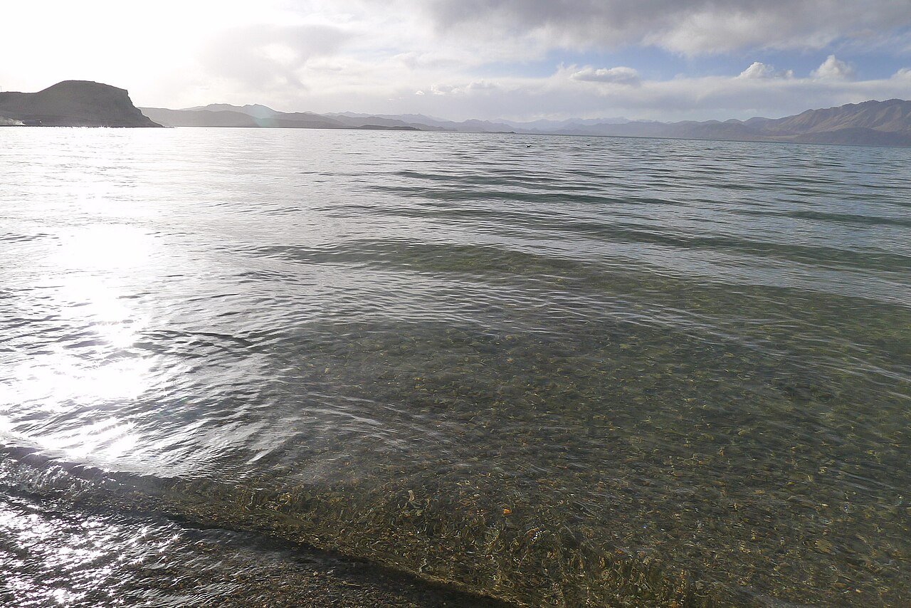
Blue water among dry mountains gives the Rutog side of Pangong Lake a memorable place in a G219 journey. This chapter concerns the authorised Chinese-side visit and does not imply a cross-border lakeside route.
Confirm current road opening, motorcycle admission and stopping arrangements. The public-road approach, internal scenic-area transport and any sand or gravel riding are separate parts of the journey.
Scenery along the road
Blue water among dry mountains gives the Rutog side of Pangong Lake a memorable place in a G219 journey. This chapter concerns the authorised Chinese-side visit and does not imply a cross-border lakeside route.
Rutog
The town is the organising point for the lake approach and the longer G219 journey. Confirm the relevant access requirements before leaving.
G219 lake approach
Dry slopes and distant peaks frame the water as it appears beside the corridor. Use only public stopping areas.
Authorised lakeside visit
Enjoy the water and mountain contrast within the area opened to visitors. Neither the lake’s full length nor foreign-side photographs establish a local motorcycle route.
Road conditions & preparation
Plan each stage around altitude, seasonal weather, fuel, accommodation and the road surface. Confirm distances and daily riding times against the actual road line you choose, and make separate arrangements for scenic-area transfers or specialised off-road sections.
Destination landscapes
Photographs identify their actual location, author and licence. Viewpoints away from the riding corridor are stated in the captions; photographs are not verified ride records.
Eric Feng · CC BY-SA 2.0 · Thumbnail / display crop · Licence
Sources & provenance
Summarised from public sources. A historic tourism plan describes a corridor, not current road access. Track authors retain ownership of their files.