The road & its landscape
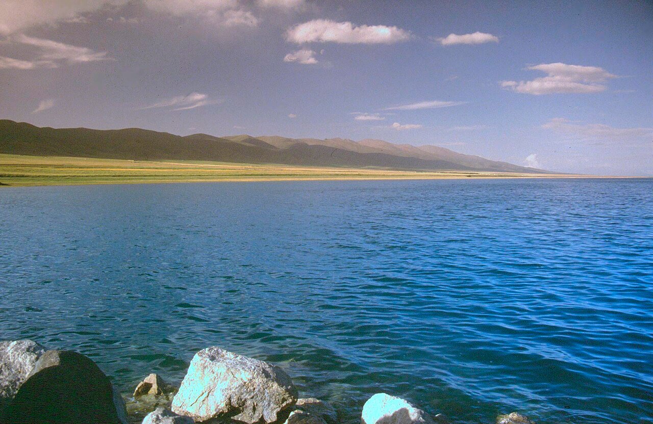
A broad blue horizon follows the road around Qinghai Lake. Grassland and distant mountains give the shores a scale that is best appreciated over a journey rather than at a single viewpoint.
Confirm current road opening, motorcycle admission and stopping arrangements. The public-road approach, internal scenic-area transport and any sand or gravel riding are separate parts of the journey. Lake-road improvement works were announced in 2026; confirm construction and diversion notices.
Scenery along the road
A broad blue horizon follows the road around Qinghai Lake. Grassland and distant mountains give the shores a scale that is best appreciated over a journey rather than at a single viewpoint.
Heimahe
The southern shore opens towards the lake and distant ranges. Use designated stopping places to see how the grassland meets the water.
Shinaïhai
The western-side corridor changes the angle of the shoreline. The interest lies in the alternating foreground of pasture, shore and open water.
Gangcha
The northern shore can form the next stage of a lake circuit. Check construction notices before committing to a complete loop.
Road conditions & preparation
Plan each stage around altitude, seasonal weather, fuel, accommodation and the road surface. Confirm distances and daily riding times against the actual road line you choose, and make separate arrangements for scenic-area transfers or specialised off-road sections.
Destination landscapes
Photographs identify their actual location, author and licence. Viewpoints away from the riding corridor are stated in the captions; photographs are not verified ride records.
Andreas Gruschke (Freiburg) · CC BY-SA 3.0 · Thumbnail / display crop · Licence
Daniel Eriksson · CC BY 4.0 · Thumbnail / display crop · Licence
Tiger@西北 · CC BY-SA 3.0 · Thumbnail / display crop · Licence
Sources & provenance
- Official destination and road reference 1 — Qinghai Lake ↗
- Official destination and road reference 2 — Qinghai Lake ↗
Summarised from public sources. A historic tourism plan describes a corridor, not current road access. Track authors retain ownership of their files.