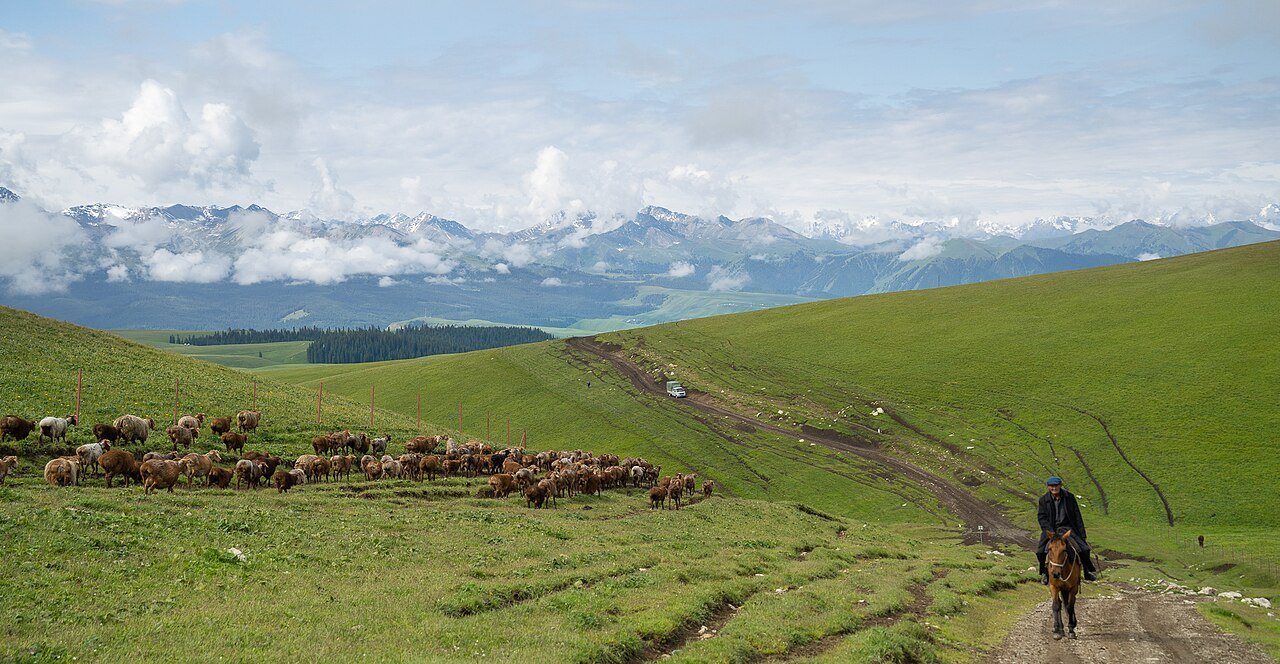
The road & its landscape
Rolling grassland, wooded slopes and valleys make the approach to Qiongkushitai a distinct road journey. The chapter centres on the public village road; Kalajun’s internal visitor areas and pastoral trails are separate experiences.
Confirm current road opening, motorcycle admission and stopping arrangements. The public-road approach, internal scenic-area transport and any sand or gravel riding are separate parts of the journey.
Scenery along the road
Rolling grassland, wooded slopes and valleys make the approach to Qiongkushitai a distinct road journey. The chapter centres on the public village road; Kalajun’s internal visitor areas and pastoral trails are separate experiences.
Tekes departure
Use the town to organise supplies and the onward village-road stage. The scenic route should be checked independently of a simple map shortcut.
Rolling grassland approach
The road bends through valleys and layered pasture. Tight sections are part of the approach, so allow time to stop in proper places.
Qiongkushitai village
Wooden buildings and the pastoral setting complete the journey. Do not extend the motorcycle route onto hiking paths or unapproved rear-hill tracks.
Road conditions & preparation
Plan each stage around altitude, seasonal weather, fuel, accommodation and the road surface. Confirm distances and daily riding times against the actual road line you choose, and make separate arrangements for scenic-area transfers or specialised off-road sections.
Destination landscapes
Photographs identify their actual location, author and licence. Viewpoints away from the riding corridor are stated in the captions; photographs are not verified ride records.
Akira CA · CC BY-SA 4.0 · Thumbnail / display crop · Licence
lwtt93 from Shanghai, China · CC BY 2.0 · Thumbnail / display crop · Licence
Sources & provenance
Summarised from public sources. A historic tourism plan describes a corridor, not current road access. Track authors retain ownership of their files.