The road & its landscape
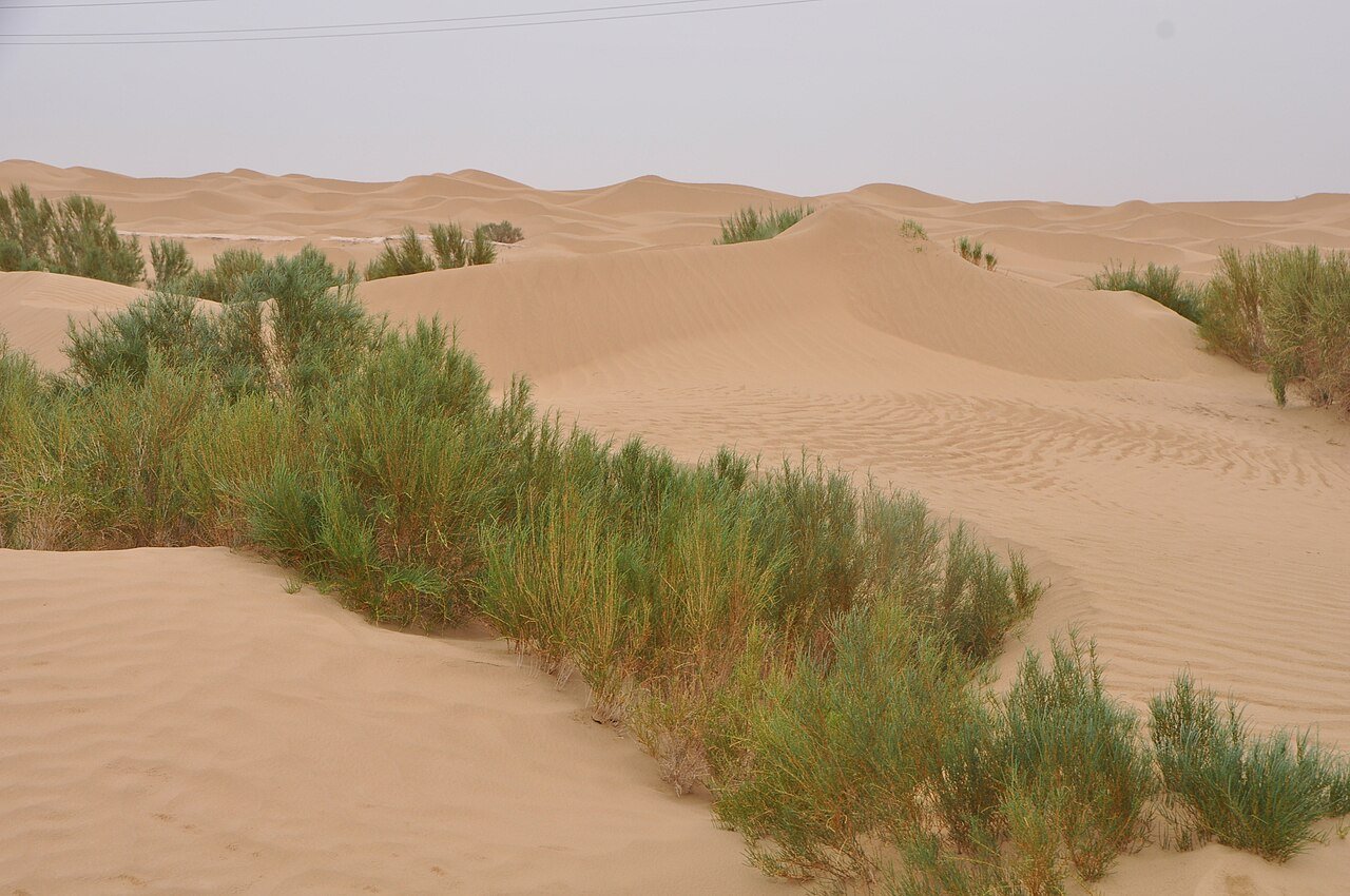
A paved road cutting through a very large sand desert gives this journey its identity. The two highway options are alternatives to research separately, not a reason to invent an off-road link across the dunes.
Confirm current road opening, motorcycle admission and stopping arrangements. The public-road approach, internal scenic-area transport and any sand or gravel riding are separate parts of the journey.
Scenery along the road
A paved road cutting through a very large sand desert gives this journey its identity. The two highway options are alternatives to research separately, not a reason to invent an off-road link across the dunes.
Luntai approach
The northern approach introduces the change from settled country towards the desert corridor. Confirm the actual highway entry and services.
Tazhong stage
The sand-sea road and its protection belt are the main experience. Fuel, water and stopping places need current verification.
Minfeng exit or alternative road
Complete the confirmed paved corridor towards Minfeng. Alar–Hotan is a separate alternative, not an unverified connecting track.
Road photographs
Look at the bends, road surface and landscape beside the carriageway. Each caption identifies the location; other roads in the range are marked separately.
Hiroki Ogawa · CC BY 3.0 · Thumbnail / display crop · Licence
Yoshi Canopus · CC BY-SA 4.0 · Thumbnail / display crop · Licence
Road conditions & preparation
Plan each stage around altitude, seasonal weather, fuel, accommodation and the road surface. Confirm distances and daily riding times against the actual road line you choose, and make separate arrangements for scenic-area transfers or specialised off-road sections.
Destination landscapes
Photographs identify their actual location, author and licence. Viewpoints away from the riding corridor are stated in the captions; photographs are not verified ride records.
Yoshi Canopus · CC BY-SA 4.0 · Thumbnail / display crop · Licence
Hiroki Ogawa · CC BY 3.0 · Thumbnail / display crop · Licence
Yoshi Canopus · CC BY-SA 4.0 · Thumbnail / display crop · Licence
Sources & provenance
Summarised from public sources. A historic tourism plan describes a corridor, not current road access. Track authors retain ownership of their files.