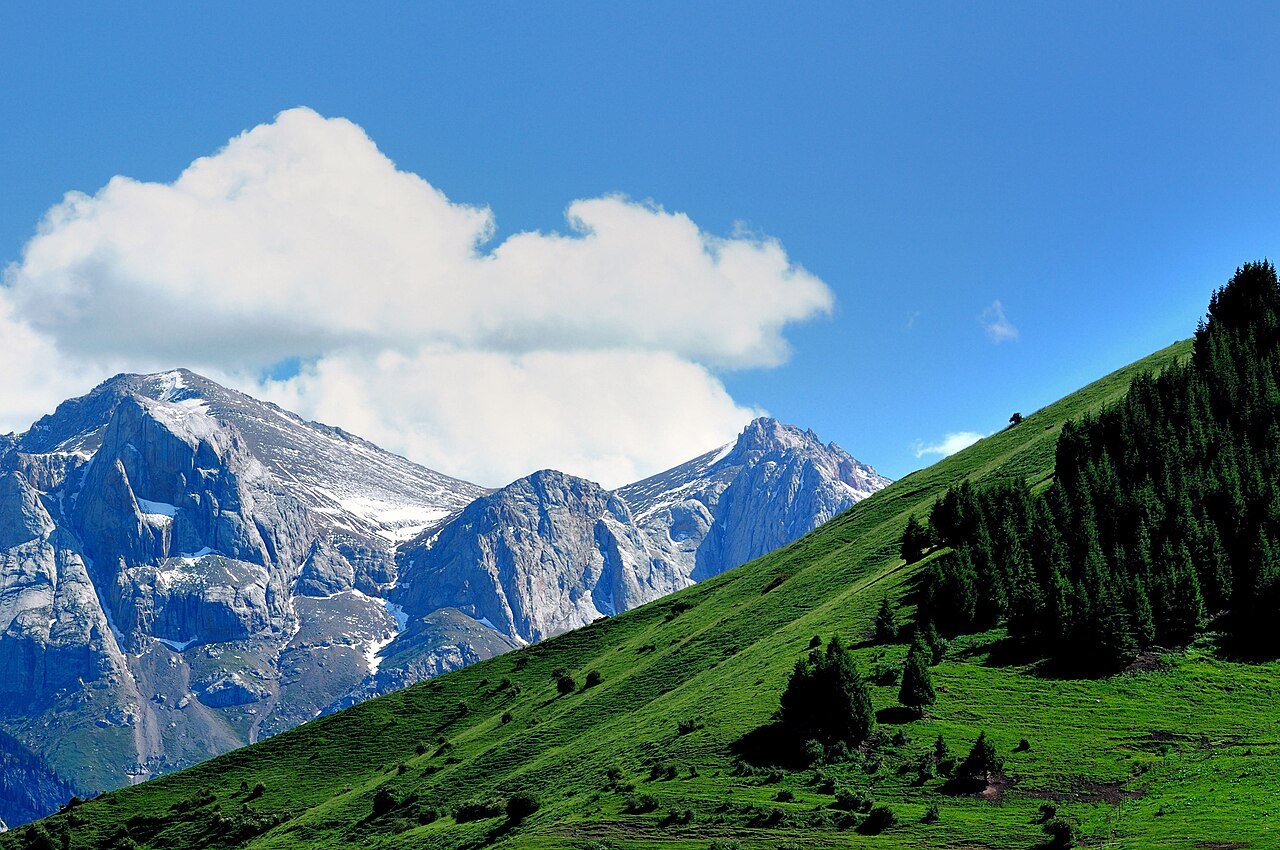
The road & its landscape
This journey combines the turns below Baishi Peak with the broader pasture of Zhaosu. Mountain scenery and open grassland balance each other, while seasonal flowers add another layer without defining the whole experience.
Confirm current road opening, motorcycle admission and stopping arrangements. The public-road approach, internal scenic-area transport and any sand or gravel riding are separate parts of the journey.
Scenery along the road
This journey combines the turns below Baishi Peak with the broader pasture of Zhaosu. Mountain scenery and open grassland balance each other, while seasonal flowers add another layer without defining the whole experience.
Baishi Peak road
The mountain section supplies the climbing bends and close slopes. Confirm the seasonal opening and vehicle restrictions for the selected line.
Zhaosu grassland
The road emerges towards a wider pastoral landscape. Flowers are seasonal; the grassland and mountain relationship remains the main theme.
Xiate entrance direction
Continue only along confirmed public approach roads. The scenic area beyond the entrance is a separate visit with its own transport rules.
Road conditions & preparation
Plan each stage around altitude, seasonal weather, fuel, accommodation and the road surface. Confirm distances and daily riding times against the actual road line you choose, and make separate arrangements for scenic-area transfers or specialised off-road sections.
Destination landscapes
Photographs identify their actual location, author and licence. Viewpoints away from the riding corridor are stated in the captions; photographs are not verified ride records.
lwtt93 from Shanghai, China · CC BY 2.0 · Thumbnail / display crop · Licence
lwtt93 from Shanghai, China · CC BY 2.0 · Thumbnail / display crop · Licence
HaziiDozen · CC BY-SA 4.0 · Thumbnail / display crop · Licence
Sources & provenance
Summarised from public sources. A historic tourism plan describes a corridor, not current road access. Track authors retain ownership of their files.