The road & its landscape
The Great Alpine Road climbs from Bright's valley through tall forest to the high country around Mount Hotham, then descends towards Omeo. Victoria's tourism authority explicitly identifies Bright–Omeo as a popular motorcycling section.
This chapter uses B500 between Bright and Omeo. Resort access lanes, unsealed high-country tracks and the longer coastal end of the Great Alpine Road are not required parts of this mountain crossing.
Scenery along the road
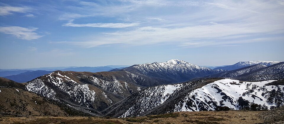
The climb from Harrietville is enclosed by forest and frequent bends. Around Hotham the road becomes exposed on high slopes and ridges. Beyond Dinner Plain, the landscape gradually returns to lower, more settled valleys, giving the crossing a clear forest-to-highland-to-valley sequence.
Bright and Harrietville
Settled valley scenery leads into a forested, increasingly winding climb.
Mount Hotham high road
The carriageway sits on exposed mountain slopes, with high-country views beyond the near road edge.
Dinner Plain to Omeo
The road leaves the upper resort setting and returns towards lower valleys and town services.
Road conditions & preparation
Check VicTraffic and alpine-road notices for snow, ice, fire and work zones. A sealed, generally year-round road is not a promise of motorcycle access in winter conditions. Confirm chain controls and choose conditions suitable for the vehicle.
Mountain landscapes
Photographs identify their actual location, author and licence. Viewpoints away from the riding corridor are stated in the captions; photographs are not verified ride records.
DumindaRanasinghe · CC BY-SA 4.0 · Thumbnail / display crop · Licence
Binosh · CC BY-SA 4.0 · Thumbnail / display crop · Licence
LBM1948 · CC BY-SA 4.0 · Thumbnail / display crop · Licence
Sources & provenance
- Visit Victoria: motorcycle road trips and the Bright–Omeo section ↗
- VicTraffic: official road conditions ↗
Summarised from public sources. A historic tourism plan describes a corridor, not current road access. Track authors retain ownership of their files.