The road & its landscape
Bells Line of Road climbs from Richmond into the northern Blue Mountains, passing orchards, small villages and forested ridges. It offers an alternative mountain crossing to the Great Western Highway.
Follow Bells Line of Road to Bell. Katoomba, Jenolan Caves and forest tracks are separate extensions requiring their own current access checks.
Scenery along the road
Kurrajong marks the climb away from the lower country. Bilpin's orchard landscape gives the road a settled foreground before bushland becomes more dominant around Mount Tomah. Approaching Bell, the road runs among higher forest and ridge openings rather than the famous Katoomba cliffs.
Richmond to Kurrajong
The climb changes a lowland departure into a mountain approach with tighter bends.
Bilpin to Mount Tomah
Orchards and villages give way to forested ridges; gardens and lookouts are stops after parking.
Higher forest to Bell
Bushland surrounds the road, with intermittent views into the Blue Mountains terrain.
Road conditions & preparation
Check Live Traffic NSW for closures and diversions. The official tourism page consulted in October 2026 also noted closures on other Blue Mountains approaches; do not infer that a complete return loop is open. Expect mixed traffic and limited stopping space.
Mountain landscapes
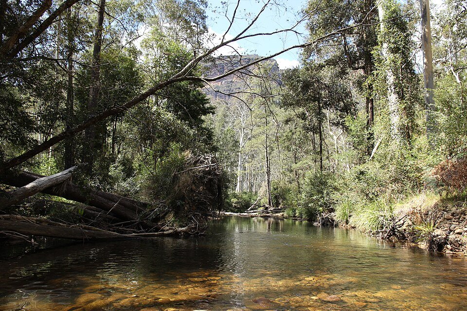
Photographs identify their actual location, author and licence. Viewpoints away from the riding corridor are stated in the captions; photographs are not verified ride records.
Rangasyd · CC BY-SA 3.0 · Thumbnail / display crop · Licence
Diliff · CC BY-SA 3.0 · Thumbnail / display crop · Licence
Laura de Feyter · CC BY-SA 4.0 · Thumbnail / display crop · Licence
Sources & provenance
- Visit NSW: Bells Line of Road and Blue Mountains access ↗
- NSW Government: Blue Mountains travel planning ↗
Summarised from public sources. A historic tourism plan describes a corridor, not current road access. Track authors retain ownership of their files.