The road & its landscape
Mundaring Weir Road offers a short public-road crossing of the Perth Hills in the Darling Range. Its appeal is the change from hill towns into jarrah-country forest and back, rather than high altitude or exposed mountain passes.
The chapter ends at Kalamunda. The nearby Zig Zag Scenic Drive is a different, time-controlled one-way road and is not silently added to the main line.
Scenery along the road
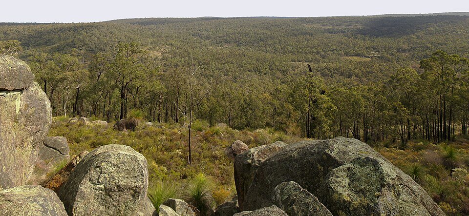
The descent from Mundaring leads into the wooded Helena valley and weir visitor area. Beyond the stop, the road winds through Beelu forest towards Kalamunda, with changing shade and close forest scenery instead of a continuous distant panorama.
Mundaring forest descent
Leave the town on the winding visitor road towards the Helena valley.
Weir visitor area
Use the public visitor parking; the dam wall is a walk, not a vehicle crossing.
Beelu to Kalamunda
Forest bends lead back to the hill-town services.
Roads from above
Look at the bends, road surface and landscape beside the carriageway. Each caption identifies the location; other roads in the range are marked separately.
User:JarrahTree · CC BY 2.5 au · Thumbnail / display crop · Licence
Road conditions & preparation
Check Main Roads WA, local event closures and fire alerts. Shaded corners can hold leaf litter or moisture; expect cyclists and wildlife. Stop in signed car parks. The dam-wall walkway and the Munda Biddi or Bibbulmun trails are separate activities.
Mountain landscapes
Photographs identify their actual location, author and licence. Viewpoints away from the riding corridor are stated in the captions; photographs are not verified ride records.
Gnangarra · CC BY 3.0 au · Thumbnail / display crop · Licence
JarrahTree · CC BY 2.5 au · Thumbnail / display crop · Licence
JarrahTree · CC BY 2.5 au · Thumbnail / display crop · Licence
Sources & provenance
- Experience Perth Hills: Mundaring to Kalamunda road itinerary ↗
- WA Parks: Beelu National Park ↗
- City of Kalamunda: September 2026 road-event closure notice ↗
Summarised from public sources. A historic tourism plan describes a corridor, not current road access. Track authors retain ownership of their files.