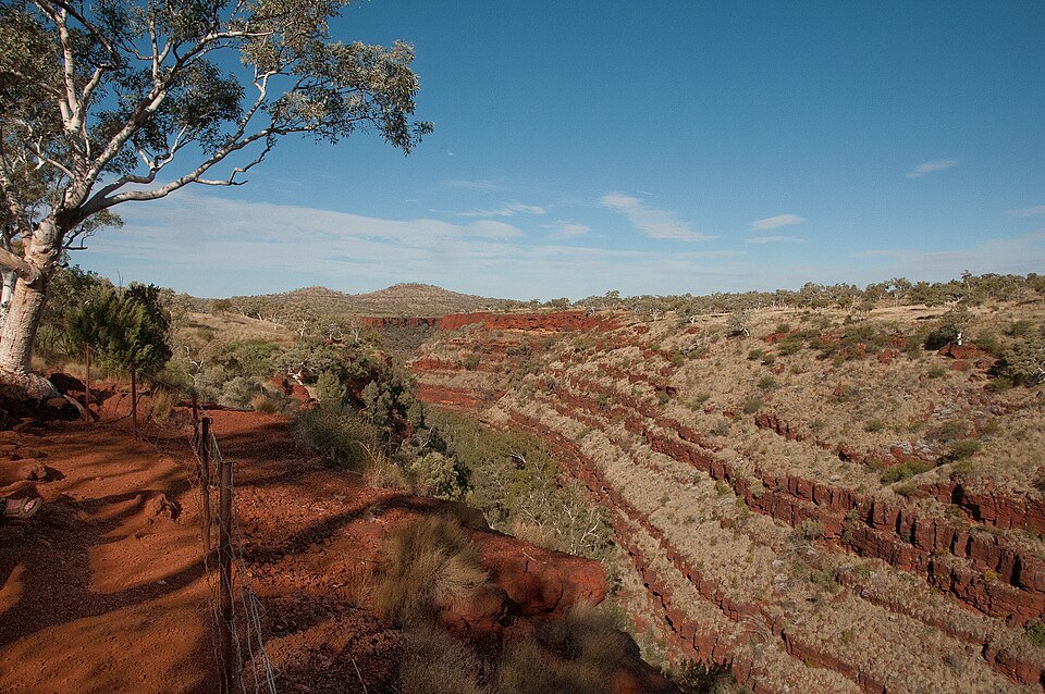
The road & its landscape
Karijini’s Hamersley landscape combines low red ridges, spinifex country and deeply cut gorges. This roadbook uses the sealed regional approach and visitor-road access to the eastern Dales area; it does not treat every road in the national park as sealed.
The WA government records 41 km of visitor-road sealing in 2024, so older maps can be misleading. Hamersley Gorge, Kalamina and Mount Bruce side approaches require separate surface checks and are excluded here. Gorge walks remain walks; Wittenoom and Yampire are not suggested detours.
Scenery along the road
Karijini Drive provides broad views of the range across an open, dry foreground. Turning north towards the visitor centre brings lower ridges closer. At Dales, much of the celebrated gorge scenery lies below the plain and is reached after parking, rather than being visible continuously from the motorcycle.
Karijini Drive range views
Watch the red uplands across the open plain while staying on the regional sealed approach.
Visitor-centre approach
Use eastern Banjima Drive to reach park information before deciding on further visits.
Dales parking and walks
Finish the motorcycle section at the visitor parking; the gorge scenery is a separate walk.
Road conditions & preparation
Check DBCA Park Alerts, the Ashburton road report and Main Roads WA before riding. Carry ample drinking water and plan fuel in the service towns; heat, storms and flash flooding can interrupt access. Verify motorcycle park fees and any camping booking. A sealed lower car park elsewhere does not prove that its entire approach is sealed.
Mountain landscapes
Photographs identify their actual location, author and licence. Viewpoints away from the riding corridor are stated in the captions; photographs are not verified ride records.
Graeme Churchard from Bristol (51.4414, -2.5242), UK · CC BY 2.0 · Thumbnail / display crop · Licence
Muliany · CC BY-SA 4.0 · Thumbnail / display crop · Licence
Muliany · CC BY-SA 4.0 · Thumbnail / display crop · Licence
Sources & provenance
- DBCA: Karijini, Hamersley setting and motorcycle entry ↗
- WA government: completed 2024 visitor-road sealing ↗
- DBCA Park Alerts ↗
- Shire of Ashburton: road reports ↗
Summarised from public sources. A historic tourism plan describes a corridor, not current road access. Track authors retain ownership of their files.