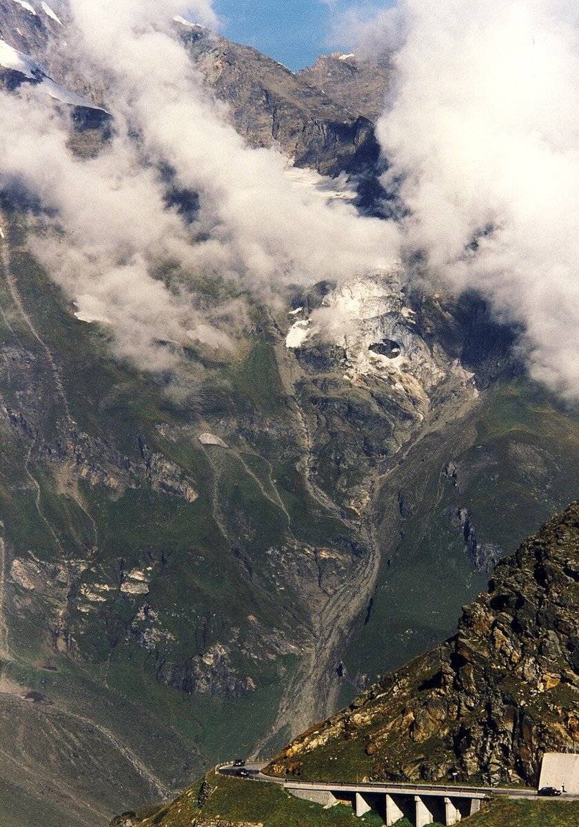
The road & its landscape
The Grossglockner road climbs from forest into exposed Alpine terrain, with a separate glacier-view branch.
Planning corridor: Fusch → Hochtor → Heiligenblut · Grossglockner High Alpine Road.
Why ride here
The Grossglockner road climbs from forest into exposed Alpine terrain, with a separate glacier-view branch.
Scenery along the road
Above Fusch, wooded hairpins give way to open Alpine slopes. Around Hochtor, rock, sparse vegetation and distant summits dominate the pass road. The Franz-Josefs-Höhe glacier viewpoint is a separate out-and-back branch, rather than the continuation towards Heiligenblut.
Fusch ascent
Wooded slopes give way to mountain pasture as the road gains height through successive bends.
Hochtor
Rock, sparse vegetation and distant peaks dominate the upper road and its short summit tunnel.
Franz-Josefs-Höhe branch
This is an optional out-and-back viewpoint towards the Grossglockner and Pasterze, rather than the direct descent.
Roads from above
Look at the bends, road surface and landscape beside the carriageway. Each caption identifies the location; other roads in the range are marked separately.
Holger.Ellgaard · CC BY-SA 3.0 · Thumbnail / display crop · Licence
Iamthestig · CC BY-SA 3.0 · Thumbnail / display crop · Licence
Renedrivers · CC BY-SA 3.0 at · Thumbnail / display crop · Licence
Road conditions & preparation
Check the road operator for snow closures and restrictions before departure.
Mountain landscapes
Photographs identify their actual location, author and licence. Viewpoints away from the riding corridor are stated in the captions; photographs are not verified ride records.
Holger.Ellgaard · CC BY-SA 3.0 · Thumbnail / display crop · Licence
Kotu · CC BY-SA 3.0 · Thumbnail / display crop · Licence
Dimitry Anikin · CC0 · Thumbnail / display crop · Licence
Sources & provenance
Summarised from public sources. A historic tourism plan describes a corridor, not current road access. Track authors retain ownership of their files.