The road & its landscape
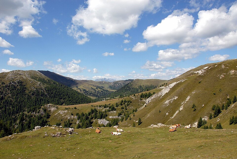
Rounded summits, larch forest and visible road loops give the Nockalm crossing a softer Alpine character than a bare-rock high pass.
This is a seasonal toll road. The operator lists a motorcycle ban from 18:00 to 08:00 and last motorcycle entry at 17:15; confirm the current daily status before travelling.
Why ride here
A continuous, named mountain road with a clear sequence of forest, high points and visible bends.
Scenery along the road
The road rises from wooded lower slopes to two open high points, with rounded ridges repeatedly filling the horizon. Eisentalhöhe and Schiestlscharte provide distinct stopping places before the descent restores a closer forest setting.
Innerkrems ascent
Wooded slopes gradually give way to the rounded upper mountain relief.
Eisentalhöhe
The open high point brings the road bends and surrounding summits into the same view; use the designated rest area.
Schiestlscharte to Ebene Reichenau
A second upper stop extends the mountain panorama before the road descends through forest.
Roads from above
Look at the bends, road surface and landscape beside the carriageway. Each caption identifies the location; other roads in the range are marked separately.
Johann Jaritz · CC BY-SA 3.0 at · Thumbnail / display crop · Licence
T. Lessiak · Public domain · Thumbnail / display crop · Licence
Zairon · CC BY-SA 3.0 · Thumbnail / display crop · Licence
Road conditions & preparation
Allow time for both high-point stops within the motorcycle opening window. Check the operator’s weather and toll information, and arrange fuel before the mountain section.
Mountain landscapes
Photographs identify their actual location, author and licence. Viewpoints away from the riding corridor are stated in the captions; photographs are not verified ride records.
Johann Jaritz · CC BY-SA 3.0 · Thumbnail / display crop · Licence
Zairon · CC BY-SA 3.0 · Thumbnail / display crop · Licence
Klaftan · CC BY-SA 4.0 · Thumbnail / display crop · Licence
Sources & provenance
Summarised from public sources. A historic tourism plan describes a corridor, not current road access. Track authors retain ownership of their files.