The road & its landscape
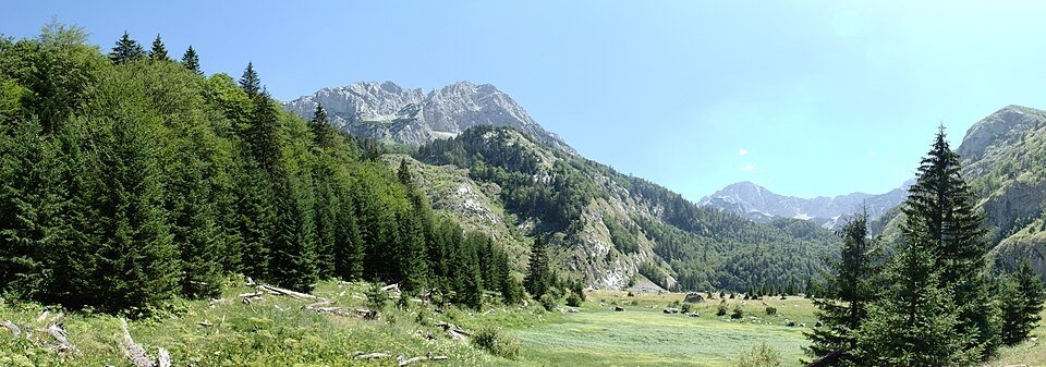
This Dinaric chapter follows the Sutjeska valley below forested mountains and the Tjentište memorial landscape.
Planning corridor: Foča → Tjentište → Gacko.
Why ride here
This Dinaric chapter follows the Sutjeska valley below forested mountains and the Tjentište memorial landscape.
Scenery along the road
The Sutjeska corridor uses the river valley to enter a more rugged Dinaric setting. Tjentište opens into a broad basin below the mountains, with the memorial forming a separate walking stop. Beyond it, wooded slopes and higher ground lead towards Gacko; the primeval forest is not a through-road excursion.
Foča approach
River-valley scenery gives the approach its first frame.
Tjentište
The memorial sits in a broad basin below rocky mountains; allow a separate walking visit.
Towards Gacko
The road continues between wooded slopes and higher ground; protected forest interiors are separate guided visits.
Road conditions & preparation
Check the road operator for snow closures and restrictions before departure.
Mountain landscapes
Photographs identify their actual location, author and licence. Viewpoints away from the riding corridor are stated in the captions; photographs are not verified ride records.
I would appreciate being notified if you use my work outside Wikimedia. More of my work can be found in my personal gallery. · CC BY 3.0 · Thumbnail / display crop · Licence
Budzak2 · CC BY-SA 4.0 · Thumbnail / display crop · Licence
Julian Nyča · CC BY-SA 3.0 · Thumbnail / display crop · Licence
Sources & provenance
Summarised from public sources. A historic tourism plan describes a corridor, not current road access. Track authors retain ownership of their files.