The road & its landscape
MG-010 climbs through Serra do Cipó in the southern Espinhaço range. The public-road corridor links the district north of Belo Horizonte with Conceição do Mato Dentro, passing rock-strewn uplands and a marked change in vegetation.
Historical documents describing unpaved MG-010 farther north must be read with their dates: the municipality records completion of paving between Conceição and Serro in 2022. This chapter ends at Conceição. It does not establish motorcycle admission to Serra do Cipó National Park trails.
Scenery along the road
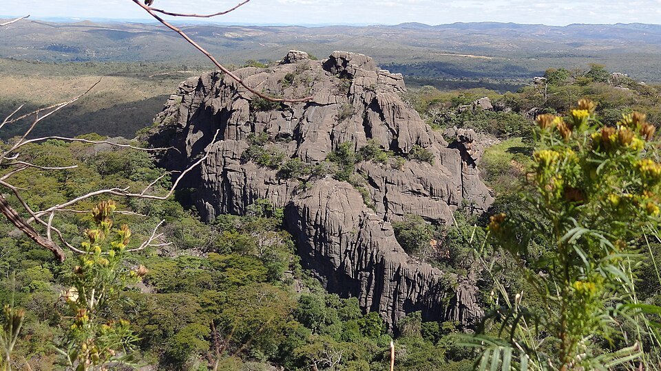
From the settled Cipó side, bends carry the road above the lower valley. Higher sections open into rocky grassland and long ridge views before the descent towards Conceição. The scenery is the mountain road itself; waterfall access tracks and park paths are separate visits.
Cipó district climb
Leave the lower services for the MG-010 mountain bends.
Rocky upland section
Open grassland and rock outcrops replace much of the lower wooded foreground.
Conceição descent
Return towards a service town and finish the selected mountain corridor there.
Road conditions & preparation
Check DER-MG and municipal road notices for pavement repairs, local controls and rain damage. Expect mixed local and commercial traffic; keep clear sight distance on climbs and descents. Use established parking rather than exposed road edges, and arrange fuel in the towns before the high section.
Mountain landscapes
Photographs identify their actual location, author and licence. Viewpoints away from the riding corridor are stated in the captions; photographs are not verified ride records.
Francisco Lusivaldo Marques · CC BY-SA 3.0 · Thumbnail / display crop · Licence
Maria Daniela Donoso · CC BY-SA 3.0 · Thumbnail / display crop · Licence
Fabricio Ferreira Silva · CC BY-SA 3.0 · Thumbnail / display crop · Licence
Sources & provenance
- Minas Gerais Tourism: Serra do Cipó in southern Espinhaço ↗
- DER-MG: MG-010 pavement maintenance ↗
- Conceição municipality: 2022 paving completion towards Serro ↗
Summarised from public sources. A historic tourism plan describes a corridor, not current road access. Track authors retain ownership of their files.