The road & its landscape
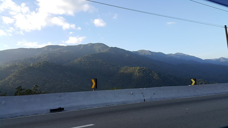
SP-123, the Floriano Rodrigues Pinheiro highway, climbs from the Paraíba valley towards Campos do Jordão in the Serra da Mantiqueira. The paved approach gives a clear lowland-to-forest transition and viewpoints towards the valley below.
The highway chapter ends at Campos do Jordão. Horto Florestal walks, Pedra do Baú approaches and smaller local climbs are separate routes, not part of a verified continuous motorcycle track.
Scenery along the road
The lower section leaves the built-up valley for wooded slopes. On the climb, broad bends reveal the relief behind the road; near the Vista Chinesa viewpoint and Campos do Jordão, upland forest and mountain-town development become the foreground.
Taubaté departure
Join the signed SP-123 approach from the inhabited valley.
Mantiqueira mountain climb
Wooded slopes and expanding valley views accompany the main highway ascent.
Belvedere to Campos do Jordão
Use permitted viewpoint parking before entering the mountain town.
Roads from above
Look at the bends, road surface and landscape beside the carriageway. Each caption identifies the location; other roads in the range are marked separately.
Themium · CC0 · Thumbnail / display crop · Licence
Road conditions & preparation
DER-SP authorised an 18-month modernisation programme in April 2026; the municipality also reported stop-and-go traffic. Check the day’s work zones before riding. Allow for temporary surfaces, mist, buses and holiday congestion rather than assuming the scenic route is uninterrupted.
Mountain landscapes
Photographs identify their actual location, author and licence. Viewpoints away from the riding corridor are stated in the captions; photographs are not verified ride records.
Themium · CC0 · Thumbnail / display crop · Licence
Themium · CC0 · Thumbnail / display crop · Licence
Themium · CC0 · Thumbnail / display crop · Licence
Sources & provenance
- DER-SP: SP-123 modernisation, April 2026 ↗
- Campos do Jordão municipality: stop-and-go roadworks ↗
- São Paulo resort-town association: Vista Chinesa access ↗
Summarised from public sources. A historic tourism plan describes a corridor, not current road access. Track authors retain ownership of their files.