The road & its landscape
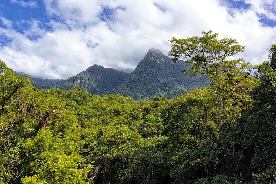
Estrada da Graciosa descends the Serra do Mar in Paraná through Atlantic forest. This mountain-road chapter follows PR-410 and the Morretes approach, combining shaded bends, historic stone paving and lower valley settlements.
Use the PR-410 descent from the BR-116 junction. The older Quatro Barras heritage approach includes unsealed sections and is a different route. “Serra do Mar” remains a mountain category here.
Scenery along the road
The upper portal marks the move away from the plateau road. Within the range, close rainforest and steep terrain dominate the bends; beyond São João da Graciosa the relief eases towards Morretes at the mountain foot.
Graciosa portal
Leave the plateau trunk road for the signed PR-410 mountain descent.
Forest and stone-paved bends
The mountain section is closely enclosed by Atlantic forest and steep slopes.
São João to Morretes
Take the signed Morretes approach as the mountain valley opens.
Road conditions & preparation
Check DER-PR alerts before every descent. The road mixes asphalt with historic stone paving, which needs particular caution when wet or leaf-covered. Rain can trigger restrictions and repairs. Stop at established recantos, keeping pedestrian spaces and forest trails clear.
Mountain landscapes
Photographs identify their actual location, author and licence. Viewpoints away from the riding corridor are stated in the captions; photographs are not verified ride records.
Otávio Nogueira from Fortaleza, BR · CC BY 2.0 · Thumbnail / display crop · Licence
MariTF · CC BY-SA 3.0 · Thumbnail / display crop · Licence
Harley Calvert · CC BY-SA 3.0 · Thumbnail / display crop · Licence
Sources & provenance
- Paraná Tourism: Estrada da Graciosa ↗
- DER-PR: asphalt conservation and stone-paved exception ↗
- Quatro Barras municipality: the separate heritage approach ↗
- DER-PR: Graciosa recovery notices ↗
- Morretes municipality: PR-410 to PR-411 road network ↗
Summarised from public sources. A historic tourism plan describes a corridor, not current road access. Track authors retain ownership of their files.