The road & its landscape
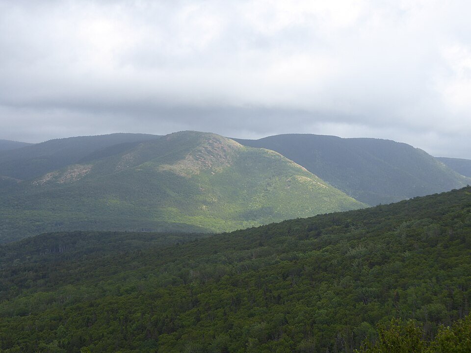
The Cabot Trail crosses the Cape Breton Highlands at the northern end of the Appalachian system. This chapter selects the mountainous northern arc, linking forested plateaus, steep valley descents and coastal mountain slopes.
This is a mountain-road chapter, not a new coastal category. Mary Ann Falls Road was converted to a hiking and mountain-bike trail in 2026 and is excluded from motorcycle routing.
Scenery along the road
From Chéticamp the road climbs to French Mountain, trading the shore for upland forest. The Pleasant Bay descent brings abrupt relief, then the northern arc crosses more high ground before the Ingonish side returns to settled lowland.
French Mountain climb
The western park approach rises from Chéticamp towards the highland plateau.
Pleasant Bay and northern arc
Steep descents and new climbs reveal the deeply cut highland edge.
Cape North to Ingonish
Continue through the eastern highland section towards the Ingonish services.
Roads from above
Look at the bends, road surface and landscape beside the carriageway. Each caption identifies the location; other roads in the range are marked separately.
WabbitWanderer from London, Canada · CC BY-SA 2.0 · Thumbnail / display crop · Licence
Eduard47 · CC BY-SA 4.0 · Thumbnail / display crop · Licence
Road conditions & preparation
Check Parks Canada bulletins and Nova Scotia 511. September 2026 flooding caused regional road damage; subsequent repairs do not certify every section open today. Expect fog, strong wind, moose and turning sightseeing traffic. Arrange park admission if stopping to visit.
Mountain landscapes
Photographs identify their actual location, author and licence. Viewpoints away from the riding corridor are stated in the captions; photographs are not verified ride records.
WabbitWanderer from London, Canada · CC BY-SA 2.0 · Thumbnail / display crop · Licence
Dennis G. Jarvis · CC BY-SA 2.0 · Thumbnail / display crop · Licence
Nicolas Raymond · CC BY 2.0 · Thumbnail / display crop · Licence
Sources & provenance
- Parks Canada: Cabot Trail access ↗
- Parks Canada: 2026 road repairs and trail conversion ↗
- Nova Scotia: September 2026 flood updates ↗
- Nova Scotia 511 ↗
- Parks Canada: the highlands belong to the Appalachian chain ↗
Summarised from public sources. A historic tourism plan describes a corridor, not current road access. Track authors retain ownership of their files.