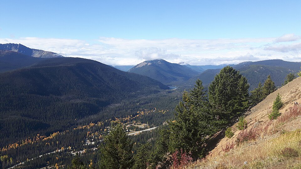
The road & its landscape
Highway 3 crosses the Canadian Cascades through E.C. Manning Park between Hope and Princeton. This chapter follows the public through-road, combining forested approaches, the Allison Pass sector and the changing eastern mountain valleys. It is the Canadian counterpart to the broader Cascade range, with its own weather and road-status checks.
BC Parks places Manning Park in the Cascade Mountains and confirms Highway 3 runs through it. The chapter uses street-legal travel on the highway only. The park prohibits ATVs and off-road vehicles; forest tracks, hiking paths, Blackwall-area side roads and lake-access detours are not assumed open to motorcycles.
Scenery along the road
Leaving Hope, the corridor enters increasingly enclosed forested mountain country. Allison Pass provides a high point before the resort area, while the eastern leg opens towards the Princeton side. The road passes through the park landscape; viewpoints reached only by hiking or by a separate seasonal access road are not part of the continuous motor route.
Hope departure
Fill up and confirm BC-3 rather than following Highway 5 north.
Allison Pass and Manning
Stay on the through-road and use signed stopping areas. Check weather before the high sector.
Princeton arrival
Use town services to finish the crossing or plan a separately checked onward leg.
Road conditions & preparation
Check DriveBC for Highway 3 weather, construction and fire closures and BC Parks for notices. Aim for a snow-free motorcycle window and be prepared to postpone; a maintained through-road can still have ice or emergency closures. Confirm fuel before long legs and do not depend on mobile service in the park. Keep emergency supplies and warm layers and allow room for trucks.
Mountain landscapes
Photographs identify their actual location, author and licence. Viewpoints away from the riding corridor are stated in the captions; photographs are not verified ride records.
simpf · CC BY-SA 2.0 · Thumbnail / display crop · Licence
Thomas Quine · CC BY 2.0 · Thumbnail / display crop · Licence
Stephen Hui · CC BY-SA 4.0 · Thumbnail / display crop · Licence
Sources & provenance
- BC Parks: Manning location, road access and vehicle boundaries ↗
- BC Parks: Manning park map ↗
- DriveBC: current highway conditions ↗
Summarised from public sources. A historic tourism plan describes a corridor, not current road access. Track authors retain ownership of their files.