The road & its landscape
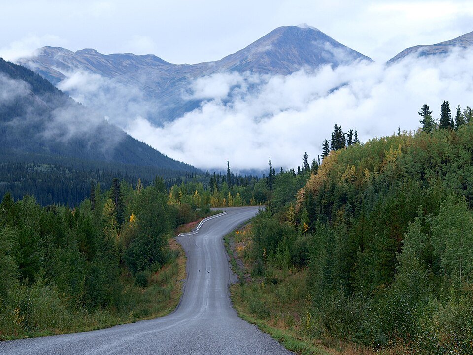
The northern Stewart–Cassiar Highway passes through remote Cassiar mountain country towards the Yukon. This chapter chooses BC-37 from Dease Lake northwards, keeping the long through-road experience separate from side trips into mining or wilderness terrain.
BC-37A towards Stewart and Hyder is a different coastal-mountain branch. Telegraph Creek and mine access roads are also separate journeys. Neither a settlement name nor a road photograph establishes permission to enter private workings.
Scenery along the road
Forested mountain slopes rise behind the water near Dease Lake. Farther north, the highway alternates between wooded bends, small service communities and openings towards rounded uplands. It is a route of changing mountain context rather than a continuous dramatic hairpin climb.
Dease Lake departure
Confirm supplies before following BC-37 north through the lake-and-mountain setting.
Jade City uplands
The highway passes a small service area amid remote forested slopes.
Good Hope Lake and northern leg
Continue on the public highway towards the territorial boundary, allowing for limited services.
Road conditions & preparation
Check DriveBC, fuel availability and the weather before committing to the northern leg. The province describes Highway 37 overall as mostly pavement or sealcoat with about one kilometre of gravel; this is not a guarantee of an unbroken asphalt surface on this selected section. Expect maintenance, narrow bridges, industrial traffic and long gaps in connectivity.
Mountain landscapes
Photographs identify their actual location, author and licence. Viewpoints away from the riding corridor are stated in the captions; photographs are not verified ride records.
Bruce McKay · CC BY-SA 2.0 · Thumbnail / display crop · Licence
Daniel Ramminger from Heidelberg, Germany · CC BY 2.0 · Thumbnail / display crop · Licence
GerthMichael · CC BY-SA 3.0 · Thumbnail / display crop · Licence
Sources & provenance
Summarised from public sources. A historic tourism plan describes a corridor, not current road access. Track authors retain ownership of their files.