The road & its landscape
The mountain section of Highway 99 climbs inland from Squamish towards Whistler and Pemberton. Granite walls, forested slopes and higher peaks give the Coast Mountains a road-based introduction.
This chapter stays in the mountain corridor north of Squamish. Gondolas and summit trails require separate arrangements; their viewpoints do not imply motorcycle access to the peaks.
Scenery along the road
At Squamish, large granite faces stand close to the valley. The road then climbs through forest and changing mountain openings before reaching Whistler's developed valley. Beyond it, the Pemberton approach broadens the foreground again.
Squamish granite valley
Large rock faces rise above the forest; walking and climbing viewpoints are distinct from the road.
Climb to Whistler
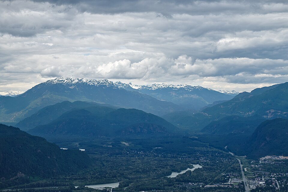
Forest is the near foreground, with intermittent openings towards higher Coast Mountain peaks.
Pemberton approach
The valley becomes more open before the road's separate, more demanding eastern extension.
Road conditions & preparation
Check DriveBC for Highway 99 conditions, construction and wildfire restrictions. This is a busy public highway, with traffic and limited shoulders; stop at signed pullouts. Check the suitability of any Duffey Lake extension separately.
Mountain landscapes
Photographs identify their actual location, author and licence. Viewpoints away from the riding corridor are stated in the captions; photographs are not verified ride records.
Trougnouf · CC BY 4.0 · Thumbnail / display crop · Licence
Stephenrees · CC BY-SA 3.0 · Thumbnail / display crop · Licence
Trougnouf · CC BY 4.0 · Thumbnail / display crop · Licence
Sources & provenance
Summarised from public sources. A historic tourism plan describes a corridor, not current road access. Track authors retain ownership of their files.