The road & its landscape
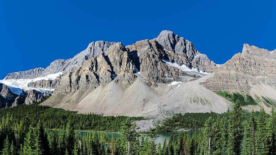
Highway 93N runs through broad glacial valleys beneath the Canadian Rockies. Long mountain walls, forest openings and icefield approaches provide a continuous mountain-road landscape.
Use Highway 93N as the main route. Glacier tours, hiking trails and closed side roads such as the Cavell access are separate from this motorcycle corridor.
Scenery along the road
The southern road alternates conifer forest with large mountain openings. Near the Columbia Icefield the ground becomes more exposed and the icefield setting fills the view. Northwards, the road settles back into the Athabasca valley towards Jasper.
Southern mountain valleys
Forest edges repeatedly open onto steep mountain walls rather than one continuous panoramic overlook.
Columbia Icefield approaches
Open alpine ground and icefield scenery enlarge the scale. Walking on ice is not part of the road route.
Athabasca valley to Jasper
The road follows a forested valley towards town; fire-affected sections form part of the present landscape.
Roads from above
Look at the bends, road surface and landscape beside the carriageway. Each caption identifies the location; other roads in the range are marked separately.
Ethan Sahagun · CC BY-SA 4.0 · Thumbnail / display crop · Licence
Road conditions & preparation
Parks Canada identifies limited services, no cellular coverage along the parkway and a long fuel gap north of Saskatchewan Crossing. Check 511 Alberta, park passes and wildfire recovery closures. Mountain rain, wind and snow can affect even a summer ride.
Mountain landscapes
Photographs identify their actual location, author and licence. Viewpoints away from the riding corridor are stated in the captions; photographs are not verified ride records.
Florian Fuchs · CC BY 3.0 · Thumbnail / display crop · Licence
Thomas Fuhrmann · CC BY-SA 4.0 · Thumbnail / display crop · Licence
Florian Fuchs · CC BY 3.0 · Thumbnail / display crop · Licence
Sources & provenance
- Parks Canada: travelling the Icefields Parkway ↗
- Parks Canada: Icefields Parkway and fuel information ↗
Summarised from public sources. A historic tourism plan describes a corridor, not current road access. Track authors retain ownership of their files.