The road & its landscape
Ruta 60-CH climbs from the Los Andes valley into a steep Andean corridor. The stacked Los Caracoles bends make the road's gain in height visible against bare mountain walls.
The chapter ends on the Chilean side near Portillo. Crossing into Argentina requires separate immigration, vehicle and live border checks; the old summit road is not the main line.
Scenery along the road
The lower valley draws the eye forward between slopes. Higher on the climb, the road folds back upon itself before reaching the Portillo mountain setting. Freight traffic shares this international highway, so scenic stops must use proper parking.
Río Blanco valley
Long mountain walls narrow the approach as the road gains height.
Los Caracoles bends
Successive bends expose several road levels on the same slope. Do not stop in the carriageway for photographs.
Portillo approach
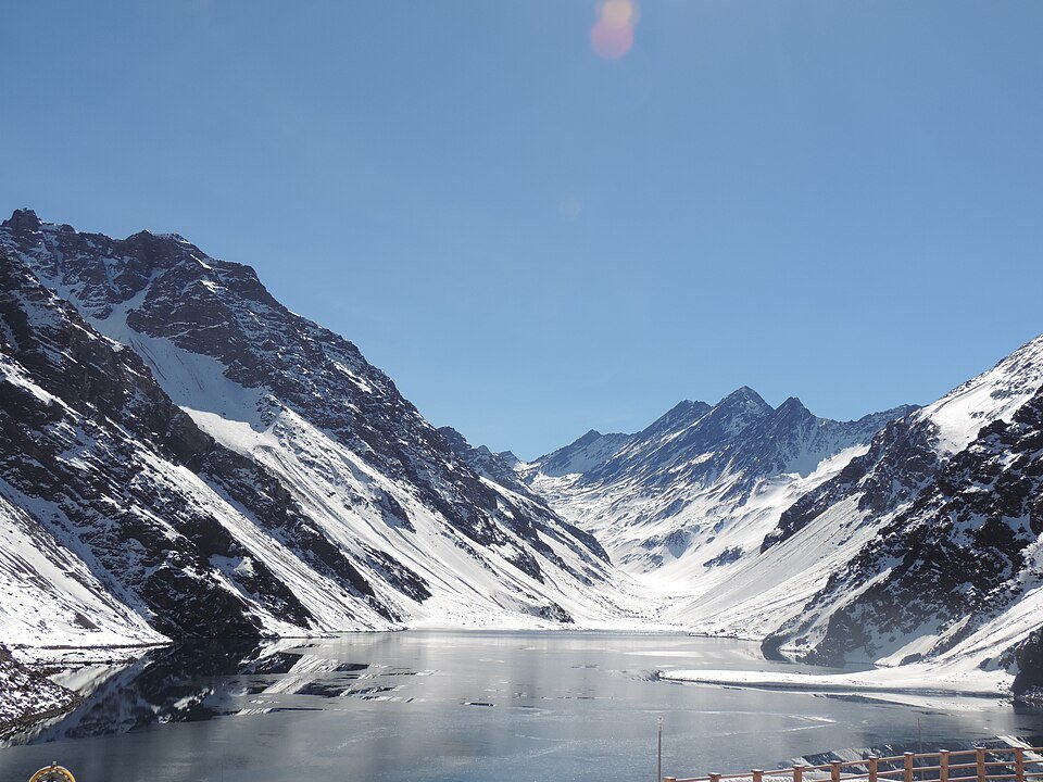
High bare peaks surround the road near the resort; walking viewpoints are separate from the traffic corridor.
Roads from above
Look at the bends, road surface and landscape beside the carriageway. Each caption identifies the location; other roads in the range are marked separately.
Robert Cutts from Bristol, England, UK · CC BY 2.0 · Thumbnail / display crop · Licence
Leandro Kibisz (Loco085) · CC BY-SA 2.5 · Thumbnail / display crop · Licence
kjell.axelsson@telia… · CC BY-SA 3.0 · Thumbnail / display crop · Licence
Road conditions & preparation
Check Chile's Los Libertadores complex and road-weather notices. Winter snow, chains requirements and border closures can prevent motorcycle travel; this is an open-weather corridor, not an all-season recommendation.
Mountain landscapes
Photographs identify their actual location, author and licence. Viewpoints away from the riding corridor are stated in the captions; photographs are not verified ride records.
RogerioAPerez · CC BY-SA 4.0 · Thumbnail / display crop · Licence
Nicolas Valdes Ortega · CC BY-SA 3.0 · Thumbnail / display crop · Licence
Nbendersky · CC BY-SA 4.0 · Thumbnail / display crop · Licence
Sources & provenance
Summarised from public sources. A historic tourism plan describes a corridor, not current road access. Track authors retain ownership of their files.