The road & its landscape
E35 follows an inhabited highland corridor between Ecuador’s Andean volcanic ranges. This chapter selects the Machachi–Ambato section, using the paved Panamericana for wide mountain horizons instead of entering summit or national-park tracks.
The corridor stays on E35. Cotopaxi park entrances, crater roads and climbs towards Ilinizas need separate access checks; mountain photographs from these places are identified as off-corridor context.
Scenery along the road
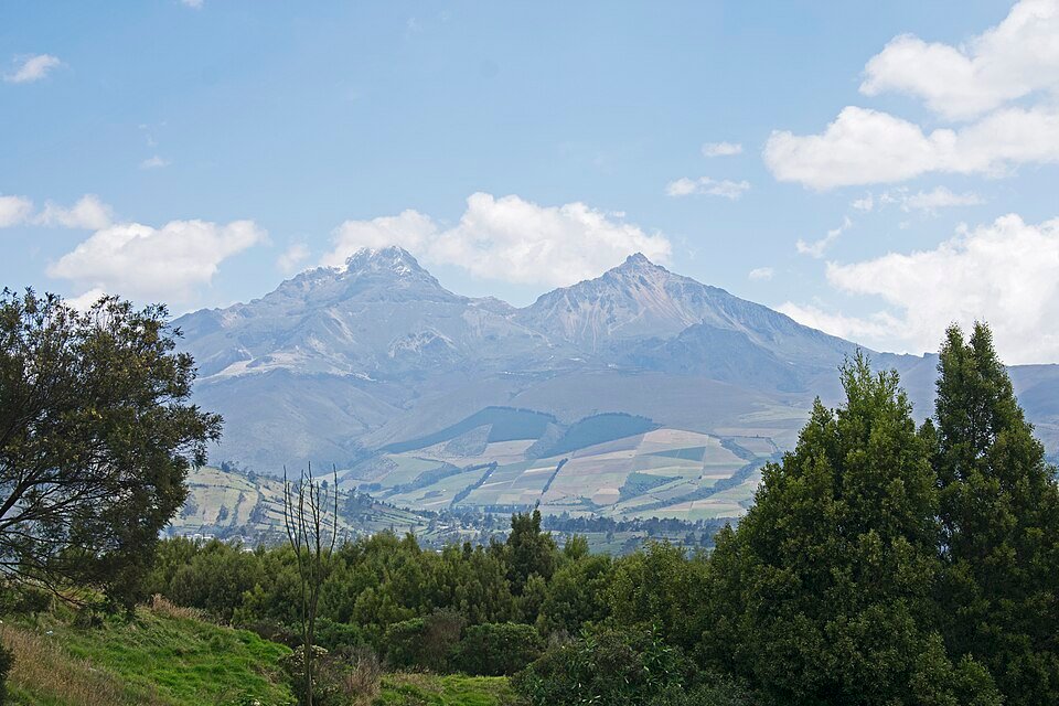
Near Machachi and Lasso, clear weather can open views towards Ilinizas and Cotopaxi on opposite sides of the highland basin. Further south, farmland, towns and bypass traffic become the main foreground, with distant volcanic relief beyond.
Machachi highland basin
Stay on the trunk road as the terrain opens between the volcanic mountain groups.
Lasso to Latacunga
Broad highland views give way to the signed urban bypass and local traffic.
Salcedo to Ambato
Continue through the cultivated inter-Andean corridor to the southern service town.
Road conditions & preparation
Check ECU911 road notices, Panavial updates and the weather before each stage. This is a busy working highway with toll areas and urban junctions, not a quiet pass. Allow time to adapt to altitude; cloud may remove most peak views.
Mountain landscapes
Photographs identify their actual location, author and licence. Viewpoints away from the riding corridor are stated in the captions; photographs are not verified ride records.
Ymblanter · CC BY-SA 4.0 · Thumbnail / display crop · Licence
Ymblanter · CC BY-SA 4.0 · Thumbnail / display crop · Licence
Ymblanter · CC BY-SA 4.0 · Thumbnail / display crop · Licence
Sources & provenance
- Ecuador Tourism: Avenue of the Volcanoes ↗
- Panavial: E35 corridor and services ↗
- ECU911: road incident lookup ↗
- Public Works Ministry: E35 Latacunga–Salcedo–Ambato works ↗
Summarised from public sources. A historic tourism plan describes a corridor, not current road access. Track authors retain ownership of their files.