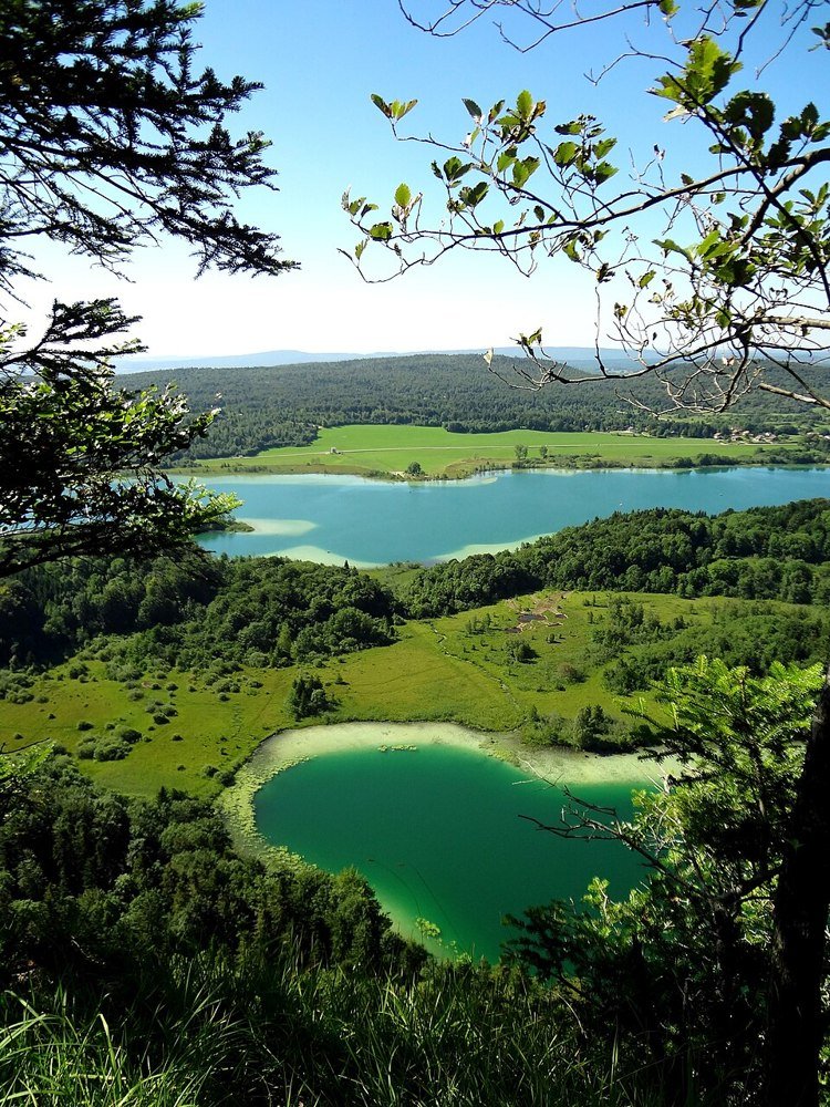
The road & its landscape
This lake-country chapter keeps the road among wooded ridges, limestone uplands and waterside villages.
Planning corridor: Clairvaux-les-Lacs → Doucier → Le Frasnois.
Why ride here
This lake-country chapter keeps the road among wooded ridges, limestone uplands and waterside villages.
Scenery along the road
This French Jura corridor travels through villages, forest ridges and limestone high ground. Clairvaux and Doucier provide settled foregrounds, while the Le Frasnois area places small water bodies within the wider wooded relief. Elevated viewpoints require leaving the road on foot; the route is not continuously waterside.
Clairvaux-les-Lacs
The village and lake introduce the lower, inhabited side of the Jura.
Doucier and Chalain
Lake views are best treated as signed shore-side stops rather than continuous roadside panoramas.
Le Frasnois
The upland lakes lie among forest and limestone; elevated viewpoints need separate access on foot.
Roads from above
Look at the bends, road surface and landscape beside the carriageway. Each caption identifies the location; other roads in the range are marked separately.
Other roads in this range
Some photographs show other roads, visitor access or historical alignments in this mountain region. Their captions identify the difference from this chapter’s main corridor; vehicle access is not inferred from the image.
JGS25 · CC BY-SA 4.0 · Thumbnail / display crop · Licence
Road conditions & preparation
Check the road operator for snow closures and restrictions before departure.
Mountain landscapes
Photographs identify their actual location, author and licence. Viewpoints away from the riding corridor are stated in the captions; photographs are not verified ride records.
Xxdayvidxx71 · CC BY-SA 4.0 · Thumbnail / display crop · Licence
Carsten Steger · CC BY-SA 4.0 · Thumbnail / display crop · Licence
JGS25 · CC BY-SA 4.0 · Thumbnail / display crop · Licence
Sources & provenance
Summarised from public sources. A historic tourism plan describes a corridor, not current road access. Track authors retain ownership of their files.