The road & its landscape
The Tourmalet crossing contrasts a settled western valley with open pasture and a steep eastern descent.
Planning corridor: Luz-Saint-Sauveur → Barèges → Col du Tourmalet → La Mongie.
Why ride here
The Tourmalet crossing contrasts a settled western valley with open pasture and a steep eastern descent.
Scenery along the road
The western approach to the Tourmalet passes through the settled valley around Barèges before opening onto high pastoral slopes. Near the pass, the road itself becomes part of the view across the hillside. La Mongie’s buildings return a human scale on the eastern descent; cable-car excursions are separate.
Barèges valley
Buildings and wooded slopes occupy the lower view before the pass road rises into open ground.
Tourmalet
The upper road exposes the shape of the slopes and the long approach across mountain pasture.
La Mongie
Ski-area buildings return a human scale to the descent; cable-car excursions are separate visits.
Roads from above
Look at the bends, road surface and landscape beside the carriageway. Each caption identifies the location; other roads in the range are marked separately.
W. Bulach · CC BY-SA 4.0 · Thumbnail / display crop · Licence
Serge Ottaviani · CC BY-SA 3.0 · Thumbnail / display crop · Licence
Itto Ogami · CC BY 3.0 · Thumbnail / display crop · Licence
Road conditions & preparation
Check the road operator for snow closures and restrictions before departure.
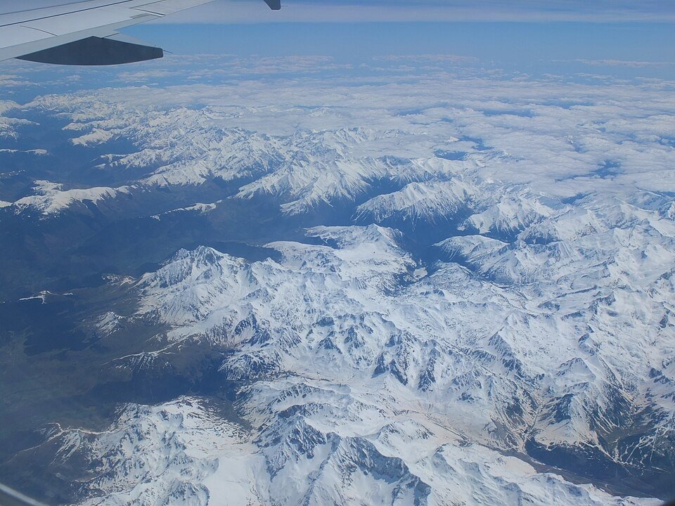
Mountain landscapes
Photographs identify their actual location, author and licence. Viewpoints away from the riding corridor are stated in the captions; photographs are not verified ride records.
Redfive · CC BY-SA 4.0 · Thumbnail / display crop · Licence
Gilles Guillamot · CC BY-SA 3.0 · Thumbnail / display crop · Licence
JLPC · CC BY-SA 3.0 · Thumbnail / display crop · Licence
Sources & provenance
Summarised from public sources. A historic tourism plan describes a corridor, not current road access. Track authors retain ownership of their files.