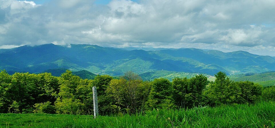
The road & its landscape
The Vosges ridge road links forest with rounded, grassy summit country rather than jagged Alpine passes.
Planning corridor: Col de la Schlucht → Hohneck → Grand Ballon · Route des Crêtes.
Why ride here
The Vosges ridge road links forest with rounded, grassy summit country rather than jagged Alpine passes.
Scenery along the road
From Col de la Schlucht, the ridge road alternates between forest and open rounded slopes beneath Hohneck. The approach to Grand Ballon extends the view across layered Vosges ridges. Summit panoramas are reached on foot and should be planned as stops alongside the road journey.
Col de la Schlucht
The wooded pass marks an entry to the ridge-road landscape.
Hohneck
High pasture opens above the valleys; summit panoramas require leaving the road and walking.
Grand Ballon approach
Rounded slopes and distant ridges dominate the final chapter; the peak is a separate foot excursion.
Roads from above
Look at the bends, road surface and landscape beside the carriageway. Each caption identifies the location; other roads in the range are marked separately.
Pmau · CC BY-SA 4.0 · Thumbnail / display crop · Licence
Florian Grossir · CC BY-SA 3.0 · Thumbnail / display crop · Licence
Espirat · CC BY-SA 4.0 · Thumbnail / display crop · Licence
Road conditions & preparation
Check the road operator for snow closures and restrictions before departure.
Mountain landscapes
Photographs identify their actual location, author and licence. Viewpoints away from the riding corridor are stated in the captions; photographs are not verified ride records.
Zairon · CC BY-SA 4.0 · Thumbnail / display crop · Licence
Zairon · CC BY-SA 4.0 · Thumbnail / display crop · Licence
Zairon · CC BY-SA 4.0 · Thumbnail / display crop · Licence
Sources & provenance
Summarised from public sources. A historic tourism plan describes a corridor, not current road access. Track authors retain ownership of their files.