The road & its landscape
The Allgäu section links valley settlements, a climbing pass road and open mountain pasture.
Planning corridor: Bad Hindelang → Oberjoch → Wertach · German Alpine Road.
Why ride here
The Allgäu section links valley settlements, a climbing pass road and open mountain pasture.
Scenery along the road
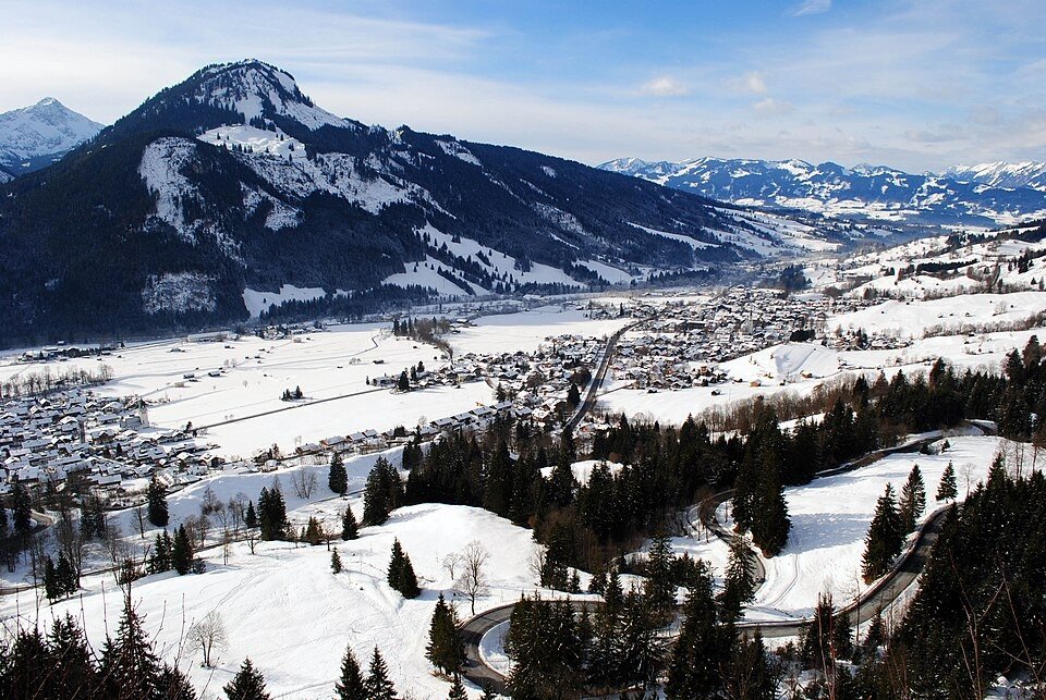
The ascent from Bad Hindelang exchanges a close valley foreground for the wider slopes around Oberjoch. Hairpins repeatedly turn the view across the Allgäu mountains; beyond the pass, pasture and villages give the road a gentler rhythm towards Wertach.
Bad Hindelang
The valley approach keeps wooded slopes close, with village roofs below the Alpine skyline.
Oberjoch
Successive bends reveal changing angles on the Allgäu mountains; use signed stopping places for photographs.
Towards Wertach
Beyond the pass, pasture and settlements replace the enclosed climb, opening the foreground around the road.
Roads from above
Look at the bends, road surface and landscape beside the carriageway. Each caption identifies the location; other roads in the range are marked separately.
Clemenspool · CC0 · Thumbnail / display crop · Licence
Nikolai Maria Jakobi · CC BY-SA 3.0 · Thumbnail / display crop · Licence
Nikolai Maria Jakobi · CC BY-SA 3.0 · Thumbnail / display crop · Licence
Road conditions & preparation
Check the road operator for snow closures and restrictions before departure.
Mountain landscapes
Photographs identify their actual location, author and licence. Viewpoints away from the riding corridor are stated in the captions; photographs are not verified ride records.
Clemenspool · CC BY-SA 3.0 · Thumbnail / display crop · Licence
Alofok · CC BY 3.0 · Thumbnail / display crop · Licence
woxe at de.wikipedia · CC BY-SA 3.0 · Thumbnail / display crop · Licence
Sources & provenance
Summarised from public sources. A historic tourism plan describes a corridor, not current road access. Track authors retain ownership of their files.