The road & its landscape
The Black Forest High Road follows wooded heights rather than a single exposed summit.
Planning corridor: Baden-Baden → Mummelsee → Ruhestein → Freudenstadt · B500.
Why ride here
The Black Forest High Road follows wooded heights rather than a single exposed summit.
Scenery along the road
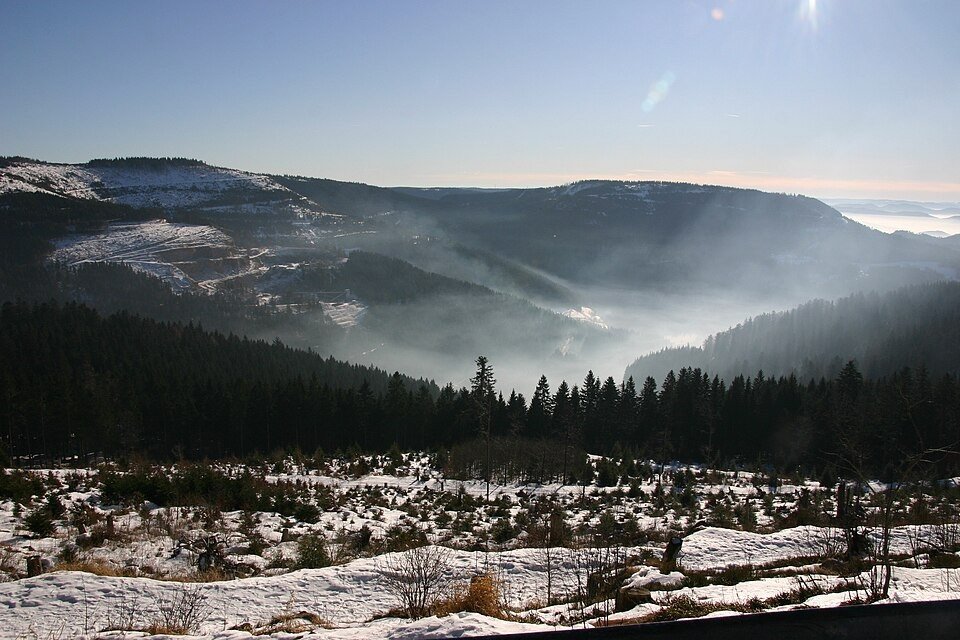
The B500 climbs away from Baden-Baden into dense forest before reaching the higher ridge country. Mummelsee is a separate stop beside the corridor; continuing towards Ruhestein and Freudenstadt, gaps in the forest alternate with enclosed, shaded sections.
Baden-Baden ascent
Leaving the spa town, the road climbs into forest and the view narrows between trees.
Mummelsee
The small lake is a separate stop beside the high road; its wooded shore gives the ridge a quieter scale.
Ruhestein to Freudenstadt
The ridge road alternates forest shade and openings towards surrounding valleys before reaching the town.
Roads from above
Look at the bends, road surface and landscape beside the carriageway. Each caption identifies the location; other roads in the range are marked separately.
Other roads in this range
Some photographs show other roads, visitor access or historical alignments in this mountain region. Their captions identify the difference from this chapter’s main corridor; vehicle access is not inferred from the image.
Andreas Schwarzkopf · CC BY-SA 3.0 · Thumbnail / display crop · Licence
Colin Smith on geo.hlipp.de · CC BY-SA 2.0 · Thumbnail / display crop · Licence
Alexander Reuss · CC BY 3.0 · Thumbnail / display crop · Licence
Road conditions & preparation
Check the road operator for snow closures and restrictions before departure.
Mountain landscapes
Photographs identify their actual location, author and licence. Viewpoints away from the riding corridor are stated in the captions; photographs are not verified ride records.
Gerd Eichmann · CC BY-SA 4.0 · Thumbnail / display crop · Licence
Gerd Eichmann · CC BY-SA 4.0 · Thumbnail / display crop · Licence
Gerd Eichmann · CC BY-SA 4.0 · Thumbnail / display crop · Licence
Sources & provenance
Summarised from public sources. A historic tourism plan describes a corridor, not current road access. Track authors retain ownership of their files.