The road & its landscape
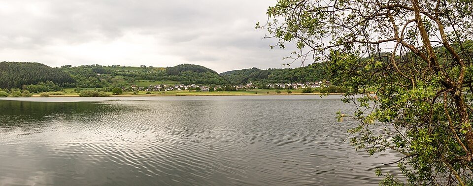
The volcanic Eifel pairs rounded hills and wooded crater lakes with small valley settlements.
Planning corridor: Daun → Schalkenmehren → Manderscheid.
Why ride here
The volcanic Eifel pairs rounded hills and wooded crater lakes with small valley settlements.
Scenery along the road
Volcanic Eifel is a sequence of low rounded hills rather than a high-pass crossing. Around Daun and Schalkenmehren, volcanic landforms and wooded crater slopes sit beside settled countryside. Towards Manderscheid the valleys deepen, with castle ruins giving the hills a distinct landmark.
Daun
Undulating roads introduce the volcanic uplands without a high Alpine climb.
Schalkenmehren
The maar lake is a shore-side stop, with wooded slopes enclosing the water below the village.
Manderscheid
The setting changes to a deeper wooded valley with castle ruins above the slopes.
Roads from above
Look at the bends, road surface and landscape beside the carriageway. Each caption identifies the location; other roads in the range are marked separately.
Wolkenkratzer · CC BY-SA 4.0 · Thumbnail / display crop · Licence
Carsten Steger · CC BY-SA 4.0 · Thumbnail / display crop · Licence
Martin Schildgen · CC BY-SA 3.0 · Thumbnail / display crop · Licence
Road conditions & preparation
Check the road operator for snow closures and restrictions before departure.
Mountain landscapes
Photographs identify their actual location, author and licence. Viewpoints away from the riding corridor are stated in the captions; photographs are not verified ride records.
Raimond Spekking · CC BY-SA 4.0 · Thumbnail / display crop · Licence
Thomas Hummel · CC BY-SA 4.0 · Thumbnail / display crop · Licence
Campinia88 · CC BY-SA 4.0 · Thumbnail / display crop · Licence
Sources & provenance
Summarised from public sources. A historic tourism plan describes a corridor, not current road access. Track authors retain ownership of their files.