The road & its landscape
The Hochrhönstraße crosses the open uplands of the Rhön between Bischofsheim and Fladungen. The compact public-road chapter combines wooded climbs with an unusually broad, largely treeless basalt plateau.
This is the Hochrhönstraße crossing, not the different Hochrhönring loop. Schwarzes Moor boardwalks and protected core areas are visits on foot, not motorcycle spurs.
Scenery along the road
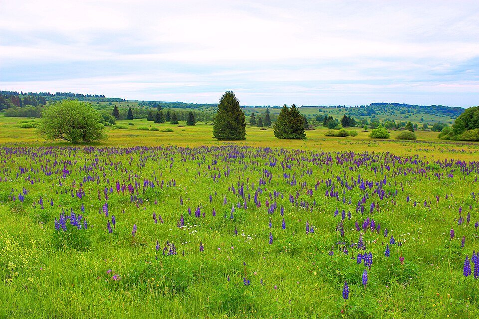
The approach leaves the lower settlements for the Lange Rhön. On the plateau, low vegetation allows long views across the rounded uplands. Near Schwarzes Moor, the character becomes more exposed before the road returns towards Fladungen.
Bischofsheim ascent
Climb from the valley settlement through the wooded edge of the uplands.
Lange Rhön plateau
The sparse tree cover gives the road its long views and exposure to weather.
Schwarzes Moor to Fladungen
Stop only at the signed visitor parking before descending towards the northern town.
Road conditions & preparation
Check BayernInfo and the Schweinfurt road authority before riding. Snowdrifts can close the exposed road even when lower towns are clear; the authority issued a reopening notice in February 2026. Ride quietly through villages and use signed parking.
Mountain landscapes
Photographs identify their actual location, author and licence. Viewpoints away from the riding corridor are stated in the captions; photographs are not verified ride records.
Grenzlandstern · CC BY-SA 4.0 · Thumbnail / display crop · Licence
Commander-pirx · CC BY-SA 4.0 · Thumbnail / display crop · Licence
Jörg Braukmann · CC BY-SA 4.0 · Thumbnail / display crop · Licence
Sources & provenance
- Town of Tann: Rhön motorcycling and the two scenic roads ↗
- Franconia Tourism: Rhön motorcycle itinerary ↗
- Schweinfurt road authority: February 2026 reopening ↗
Summarised from public sources. A historic tourism plan describes a corridor, not current road access. Track authors retain ownership of their files.