The road & its landscape
The upper Danube cuts a limestone passage through the Swabian Jura. L277 offers a valley-road chapter beneath pale rock towers and wooded slopes, linking small settlements instead of chasing a summit pass.
The road chapter stays on L277. Riverside cycleways and cliff-top walking paths are separate; do not route a motorcycle through them or through castle grounds.
Scenery along the road
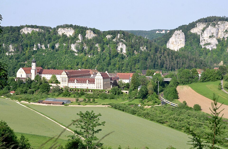
Around Beuron, the river and road sit beneath steep limestone walls. Hausen im Tal and Thiergarten alternate village foregrounds with narrow valley scenery; towards Sigmaringen the corridor becomes more settled and less enclosed.
Fridingen to Beuron
The valley road approaches the limestone gorge and monastery settlement.
Hausen im Tal and Thiergarten
Village sections and rock-lined river bends demand a quiet, measured pace.
Approach to Sigmaringen
The gorge setting eases into a broader inhabited valley.
Roads from above
Look at the bends, road surface and landscape beside the carriageway. Each caption identifies the location; other roads in the range are marked separately.
Simisa · CC BY-SA 3.0 · Thumbnail / display crop · Licence
Hansueli Krapf · CC BY-SA 3.0 · Thumbnail / display crop · Licence
PaulT (Gunther Tschuch) · CC BY-SA 4.0 · Thumbnail / display crop · Licence
Road conditions & preparation
Check VerkehrsInfo BW and local signs. The district’s 2026 noise measures applied on specified weekends and holidays from 3 April to 11 October, with 30 km/h village and 70 km/h rural sections. Future dates require a fresh check; keep acceleration and noise restrained.
Mountain landscapes
Photographs identify their actual location, author and licence. Viewpoints away from the riding corridor are stated in the captions; photographs are not verified ride records.
Olga Ernst · CC BY-SA 4.0 · Thumbnail / display crop · Licence
Jörg Braukmann · CC BY-SA 4.0 · Thumbnail / display crop · Licence
Moleskine · CC BY 4.0 · Thumbnail / display crop · Licence
Sources & provenance
- ADAC: motorcycle routes in the Swabian Jura ↗
- Sigmaringen district: L277 speed measures, 26 March 2026 ↗
- Beuron municipality: valley paths and L277 crossings ↗
Summarised from public sources. A historic tourism plan describes a corridor, not current road access. Track authors retain ownership of their files.