The road & its landscape
The signed Naturpark-Route provides a motor-road way into the Thuringian Forest. This chapter selects its central Friedrichroda–Oberhof–Masserberg stages, where wooded uplands and ridge settlements replace the lower hill-country towns.
The Rennsteig itself is primarily a walking and cycling trail. The motorcycle corridor follows signed public roads, not a continuous ride along the ridge path or to protected summit ground.
Scenery along the road
Leaving Friedrichroda, the route gradually gains the forested heights. Oberhof anchors the central uplands with access to signed roadside attractions; towards Masserberg, forested ridges and occasional high meadows sustain the mountain character without a high alpine pass.
Friedrichroda upland approach
Use the signed road route towards the increasingly wooded uplands.
Oberhof road-stage hub
Pause in the ridge town, with summit walks and sports facilities treated separately.
Masserberg approach
Wooded heights and small settlements form the route towards the eastern stage endpoint.
Road conditions & preparation
Follow the tourism route’s brown arnica signs and its current official stage map; town-to-town shortest routing may choose a different road. Check regional closures and frost. Treat attraction car parks as stops, allowing pedestrians and slow village traffic space.
Mountain landscapes
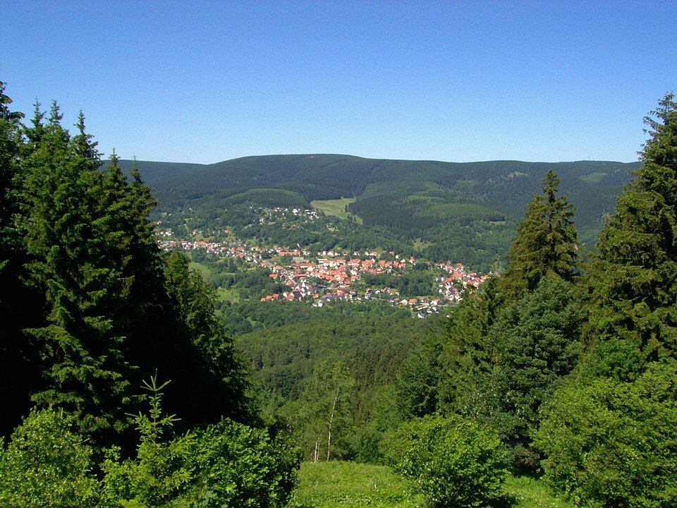
Photographs identify their actual location, author and licence. Viewpoints away from the riding corridor are stated in the captions; photographs are not verified ride records.
Elop · CC BY-SA 2.5 · Thumbnail / display crop · Licence
Martin Schmidt · CC BY-SA 4.0 · Thumbnail / display crop · Licence
Thuringius · CC0 · Thumbnail / display crop · Licence
Sources & provenance
- Thuringian Forest Tourism: the official five road stages ↗
- Regional nature-park route leaflet: cars and motorcycles ↗
Summarised from public sources. A historic tourism plan describes a corridor, not current road access. Track authors retain ownership of their files.