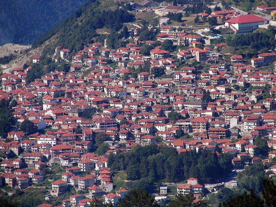
The road & its landscape
The Pindus approach concentrates on wooded slopes and the stone-built mountain town of Metsovo.
Planning corridor: Ioannina → Metsovo · mountain-town approach.
Why ride here
The Pindus approach concentrates on wooded slopes and the stone-built mountain town of Metsovo.
Scenery along the road
The approach from Ioannina exchanges a broad inhabited basin for the wooded slopes around Metsovo. The mountain town’s stone buildings give the road a close foreground beneath the Pindus ridges. The older Katara pass is a separate route choice and is not assumed to be the current through line.
Ioannina basin
The wider basin sets the mountains against inhabited lower ground.
Metsovo approach
As the road approaches the mountain town, forested slopes become the dominant near view.
Metsovo
The wooded setting and village square reward a walking stop; the old Katara crossing needs a separate road-status check.
Road conditions & preparation
Check the road operator for snow closures and restrictions before departure.
Mountain landscapes
Photographs identify their actual location, author and licence. Viewpoints away from the riding corridor are stated in the captions; photographs are not verified ride records.
Bogdan Giuşcă · CC BY-SA 3.0 · Thumbnail / display crop · Licence
Vasilia x · CC BY-SA 4.0 · Thumbnail / display crop · Licence
Ginak97 · CC BY-SA 4.0 · Thumbnail / display crop · Licence
Sources & provenance
Summarised from public sources. A historic tourism plan describes a corridor, not current road access. Track authors retain ownership of their files.