The road & its landscape
The main climb from Abu Road to Mount Abu gives a short paved approach into the southern Aravalli. Granite slopes and forested upper ground replace the dry lowland; the destination is the hill town, not a motorcycle summit track.
The national tourism description puts the final Abu Road climb at about 28 km. Guru Shikhar’s final steps and sanctuary nature paths are not included as motorable routes.
Scenery along the road
The lower approach leaves the Abu Road settlement and begins to fold around rocky slopes. Higher hairpins reveal the relief behind the road; approaching Mount Abu, thicker vegetation and hill-town activity become a larger part of the view.
Abu Road departure
Complete fuel and water purchases in the lowland town before the climb.
Ghat-road bends
Rocky Aravalli slopes and changing valley views accompany the hairpins.
Mount Abu arrival
Finish the motorcycle stage at the hill town and explore its sights on foot.
Road conditions & preparation
Confirm the current ghat-road condition locally after monsoon rain and before a winter morning departure. Allow space for buses, pedestrians and sharp bends. Use authorised parking in Mount Abu, and keep temple or wildlife-sanctuary visits separate from riding.
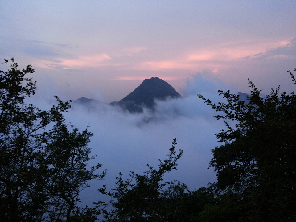
Mountain landscapes
Photographs identify their actual location, author and licence. Viewpoints away from the riding corridor are stated in the captions; photographs are not verified ride records.
Chirag mac 84 · CC BY-SA 4.0 · Thumbnail / display crop · Licence
Veera.sj · CC0 · Thumbnail / display crop · Licence
Camaal Mustafa Sikander aka Lens Naayak · CC BY-SA 4.0 · Thumbnail / display crop · Licence
Sources & provenance
- Incredible India: Mount Abu and the Abu Road climb ↗
- Rajasthan Tourism: Mount Abu transport and attractions ↗
- Rajasthan Forest Department: sanctuary map and paths ↗
Summarised from public sources. A historic tourism plan describes a corridor, not current road access. Track authors retain ownership of their files.