The road & its landscape
The road to Araku climbs into the Eastern Ghats from the Visakhapatnam side. This chapter concentrates on the hill section from Srungavarapukota, where forested slopes give way to coffee country and the higher Araku valley.
The district survey identifies the Ananthagiri–Araku hill section within NH516E; connecting approaches have other names. Borra Caves and valley walks are optional visits off the riding corridor, not verified motorcycle tracks.
Scenery along the road
On the ascent the road is repeatedly folded around wooded spurs. Ananthagiri brings coffee-growing slopes into view; near Sunkarametta and Araku, the landscape opens into cultivated highland rather than a bare rocky pass.
Hill-road ascent
The road leaves the lower settlement belt and gains the wooded Eastern Ghats.
Ananthagiri slopes
Coffee-growing terrain and changing hill views define the middle section.
Sunkarametta to Araku
Cultivated upland and valley settlements replace the tighter ascent.
Road conditions & preparation
Confirm current roadworks and rain damage with the district before departure. Monsoon rain, fog and buses change the riding demands. Plan daylight for both directions and stop only in signed visitor areas; railway viaduct views are not directions onto railway property.
Mountain landscapes
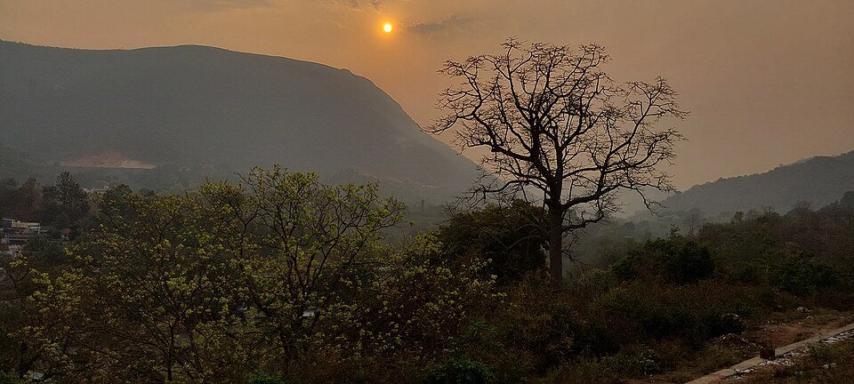
Photographs identify their actual location, author and licence. Viewpoints away from the riding corridor are stated in the captions; photographs are not verified ride records.
Pinakpani · CC BY 4.0 · Thumbnail / display crop · Licence
Raj · CC BY 2.0 · Thumbnail / display crop · Licence
Tarunsamanta · CC BY-SA 4.0 · Thumbnail / display crop · Licence
Sources & provenance
- Alluri Sitharama Raju district: Araku tourism and roadside sites ↗
- Andhra Pradesh survey: NH516E and district road network ↗
- Telangana Tourism: the Vizag–Ananthagiri–Araku road itinerary ↗
Summarised from public sources. A historic tourism plan describes a corridor, not current road access. Track authors retain ownership of their files.