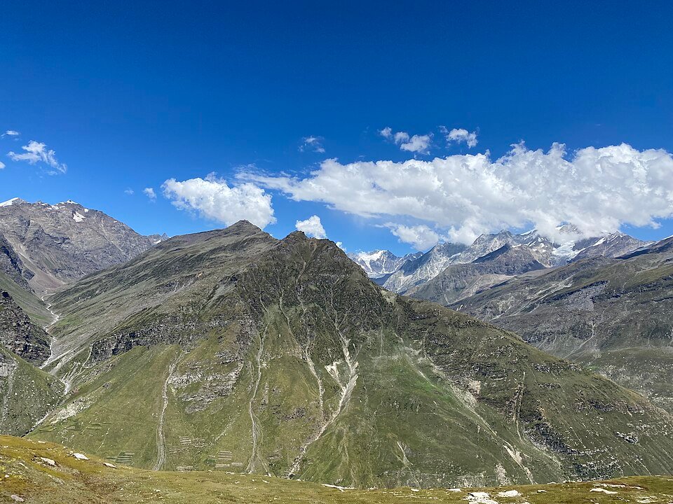
The road & its landscape
The Atal Tunnel corridor connects Manali's greener valley with the higher Lahaul landscape across the Pir Panjal range. The tunnel makes the modern route different from photographs of the old Rohtang summit road.
The main line uses Atal Tunnel. Old Rohtang Pass is an optional road requiring its own permit, seasonal and vehicle checks; it is not a compulsory part of this crossing.
Scenery along the road
The southern approach rises through developed valley scenery towards the tunnel portal. After the tunnel, Sissu and the Chandra valley reveal a wider high-mountain setting. The road continues towards the river confluence at Tandi and the settled slopes near Keylong.
Manali to the south portal
Valley settlements and forested slopes frame the climb towards the modern tunnel approach.
Sissu and Chandra valley
Beyond the north portal the wider valley makes the surrounding high ridges much more prominent.
Tandi to Keylong
River confluence and settled high-valley slopes create a different foreground from the pass approaches.
Road conditions & preparation
Check Himachal police and road authority updates for snow, tunnel controls and temporary motorcycle restrictions. Tourism pages may retain pre-tunnel text, so use the completed tunnel as the route reference and confirm present access rather than assuming year-round riding.
Mountain landscapes
Photographs identify their actual location, author and licence. Viewpoints away from the riding corridor are stated in the captions; photographs are not verified ride records.
Vinayaraj · CC BY-SA 4.0 · Thumbnail / display crop · Licence
Vinayaraj · CC BY-SA 4.0 · Thumbnail / display crop · Licence
Vinayaraj · CC BY-SA 4.0 · Thumbnail / display crop · Licence
Sources & provenance
- India PIB: Atal Tunnel and its portals ↗
- Himachal Tourism: Lahaul valley geography ↗
- Himachal Tourism: travel safety information ↗
Summarised from public sources. A historic tourism plan describes a corridor, not current road access. Track authors retain ownership of their files.