The road & its landscape
The road from Pipariya through Matkuli reaches Pachmarhi in the Satpura hills. This chapter selects the ordinary hill-station approach and town arrival, with a clear boundary between the public-road climb and regulated forest visits.
Madhai, Churna and other Satpura Tiger Reserve entrances are separate approaches. Safari tracks and the access to individual waterfalls or Dhoopgarh are not assumed to accept a private motorcycle; they are outside this roadbook’s continuous motor corridor.
Scenery along the road
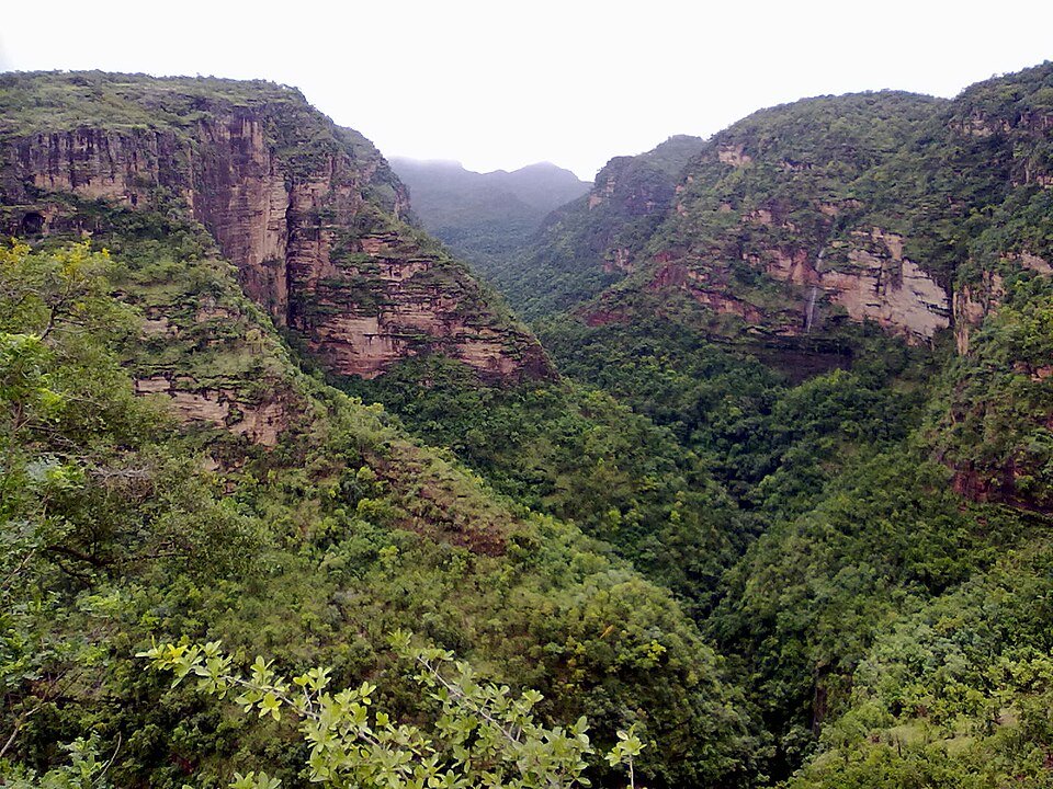
The lower approach moves through a settled landscape before the Matkuli side rises into wooded hills. The climb replaces long lowland views with tighter forested slopes; around Pachmarhi, sandstone forms and higher ground give the hill station its mountain setting.
Pipariya supplies
Prepare before leaving the lower service town for the hill-station road.
Matkuli hill approach
Follow the main road as woodland and hill slopes become more prominent.
Pachmarhi arrival
Finish in the hill town and arrange any forest excursions separately.
Road conditions & preparation
Confirm the main-road condition locally, especially after monsoon rain, and avoid a late arrival on unfamiliar hill bends. Arrange supplies in the towns. Ask the forest authority about permits, guides and vehicle arrangements before any protected-area excursion; tourist access to Pachmarhi does not mean free access to all surrounding forest roads.
Mountain landscapes
Photographs identify their actual location, author and licence. Viewpoints away from the riding corridor are stated in the captions; photographs are not verified ride records.
Abhayashok · CC BY-SA 3.0 · Thumbnail / display crop · Licence
Dinesh Valke from Thane, India · CC BY-SA 2.0 · Thumbnail / display crop · Licence
Sherlockisagirlsname · CC0 · Thumbnail / display crop · Licence
Sources & provenance
- Madhya Pradesh government: Pachmarhi road approach ↗
- Satpura Tiger Reserve: separate park approaches ↗
- Madhya Pradesh forest booking: visitor zones and vehicle rules ↗
Summarised from public sources. A historic tourism plan describes a corridor, not current road access. Track authors retain ownership of their files.