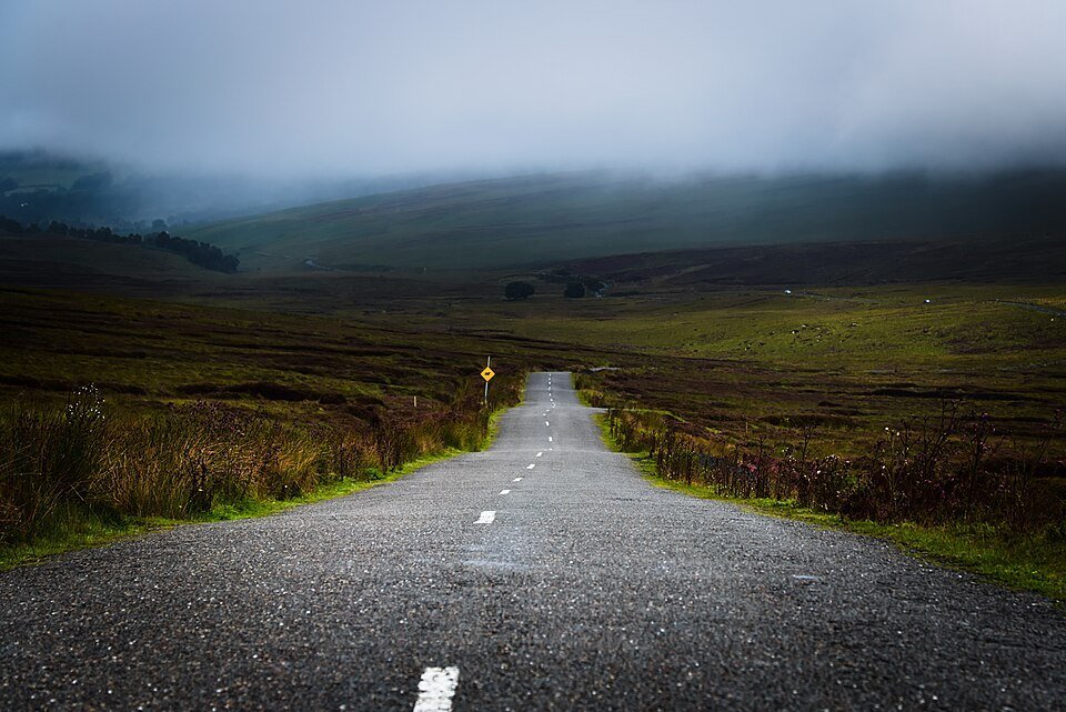
The road & its landscape
The Wicklow roads cross blanket bog and rounded uplands above sheltered wooded valleys.
Planning corridor: Roundwood → Sally Gap → Laragh.
Why ride here
The Wicklow roads cross blanket bog and rounded uplands above sheltered wooded valleys.
Scenery along the road
From Roundwood, the view opens into Wicklow’s rounded uplands and blanket bog. Sally Gap has a low, exposed horizon rather than an Alpine summit crossing. Descending to Laragh restores wooded valley scenery; the Glendalough visit is a separate stop beyond the main road sequence.
Roundwood
The approach moves from village country towards more open mountain ground.
Sally Gap
Bogland and low vegetation leave the road exposed beneath a broad sky.
Laragh descent
Woodland closes around the road again; Glendalough is a separate nearby visit.
Roads from above
Look at the bends, road surface and landscape beside the carriageway. Each caption identifies the location; other roads in the range are marked separately.
Other roads in this range
Some photographs show other roads, visitor access or historical alignments in this mountain region. Their captions identify the difference from this chapter’s main corridor; vehicle access is not inferred from the image.
Rob Hurson · CC BY-SA 2.0 · Thumbnail / display crop · Licence
Michael Dibb · CC BY-SA 2.0 · Thumbnail / display crop · Licence
Jonathan Billinger · CC BY-SA 2.0 · Thumbnail / display crop · Licence
Road conditions & preparation
Check the road operator for snow closures and restrictions before departure.
Mountain landscapes
Photographs identify their actual location, author and licence. Viewpoints away from the riding corridor are stated in the captions; photographs are not verified ride records.
Enrico Strocchi · CC BY-SA 2.0 · Thumbnail / display crop · Licence
Voytazz86 · CC BY-SA 3.0 · Thumbnail / display crop · Licence
Jonathan Billinger · CC BY-SA 2.0 · Thumbnail / display crop · Licence
Sources & provenance
Summarised from public sources. A historic tourism plan describes a corridor, not current road access. Track authors retain ownership of their files.