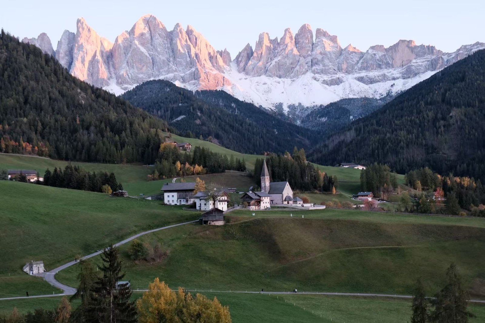
The road & its landscape
The Great Dolomites Road approach pairs dark conifers with the pale rock of the Latemar and Catinaccio groups.
Planning corridor: Bolzano → Carezza → Passo Costalunga → Canazei.
Why ride here
The Great Dolomites Road approach pairs dark conifers with the pale rock of the Latemar and Catinaccio groups.
Scenery along the road
The SS241 approach leaves Bolzano for a tighter wooded valley. Around Carezza, dark conifers set off the pale Latemar rock walls; viewing the water requires a separate walk from parking. Costalunga opens onto pasture and rock towers before the road returns to inhabited valley country towards Canazei.
Val d’Ega
The road leaves the city for a closer valley landscape, with forested slopes rising beside it.
Lake Carezza
The lake is a parking-and-walking stop; conifers and the Latemar backdrop form its distinctive scene.
Costalunga to Val di Fassa
At the pass, meadow openings reveal the rock towers before the road returns to inhabited valley country.
Road photographs
Look at the bends, road surface and landscape beside the carriageway. Each caption identifies the location; other roads in the range are marked separately.
Other roads in this range
Photographs supplied for this Dolomites chapter show village roads and wider mountain scenery. Exact road sections have not been matched individually to the SS241 planning corridor; these pictures do not establish current access or a checked riding track.
Road conditions & preparation
Check the road operator for snow closures and restrictions before departure.
Mountain landscapes
Photographs identify their actual location, author and licence. Viewpoints away from the riding corridor are stated in the captions; photographs are not verified ride records.
Sources & provenance
Summarised from public sources. A historic tourism plan describes a corridor, not current road access. Track authors retain ownership of their files.