The road & its landscape
The western foot of the Central Alps is read through the Kiso river valley and historic post towns.
Planning corridor: Narai → Kiso-Fukushima → Nagiso · Route 19.
Why ride here
The western foot of the Central Alps is read through the Kiso river valley and historic post towns.
Scenery along the road
Route 19 stays on the western foot of the Central Alps, following a lived-in river valley rather than a summit road. Narai and Kiso-Fukushima place historic buildings close to the mountain slopes. Nagiso provides a branch towards Tsumago; post-town streets and the Nakasendo trail are separate walking visits.
Narai
The post-town streets are a walking visit beside the main road corridor.
Kiso-Fukushima
The inhabited river valley gives the road a continuous mountain-town setting.
Nagiso and Tsumago
The Tsumago branch leads to another preserved post town; the Nakasendo walking trail is not a motor route.
Road conditions & preparation
Check the road operator for snow closures and restrictions before departure.
Mountain landscapes
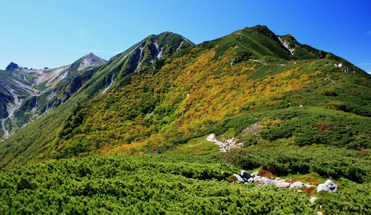
Photographs identify their actual location, author and licence. Viewpoints away from the riding corridor are stated in the captions; photographs are not verified ride records.
Alpsdake · CC0 · Thumbnail / display crop · Licence
Alpsdake · CC BY-SA 3.0 · Thumbnail / display crop · Licence
Σ64 · CC BY 3.0 · Thumbnail / display crop · Licence
Sources & provenance
Summarised from public sources. A historic tourism plan describes a corridor, not current road access. Track authors retain ownership of their files.