The road & its landscape
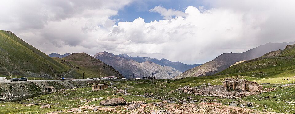
The Bishkek–Osh road crosses a Tian Shan barrier at Too-Ashuu. A confined northern valley climbs towards the tunnel, then the southern side opens onto the broad Suusamyr highland.
The main route uses the modern tunnel. Old high-pass tracks and unpaved side valleys are separate routes requiring their own vehicle and access assessment.
Scenery along the road
The northern climb keeps rock slopes close to the traffic corridor. Around the tunnel the road and mountain walls dominate the view. South of the crossing, a much wider valley replaces the close gorge, giving the ride a marked change in scale.
Kara-Balta valley climb
The road gains height in a progressively tighter mountain valley with exposed cut slopes.
Too-Ashuu tunnel corridor
The modern tunnel provides the crossing; old summit-road photographs are not the same alignment.
Suusamyr opening
The southern side spreads into a broad high valley, with mountain ridges set farther back from the road.
Road conditions & preparation
Kyrgyzstan's transport ministry identifies Too-Ashuu on the Bishkek–Osh road and planned repair work in 2026. Check its current notices for repairs, snow, tunnel controls and vehicle restrictions. This is a freight route; plan fuel and avoid stopping inside tunnels.
Mountain landscapes
Photographs identify their actual location, author and licence. Viewpoints away from the riding corridor are stated in the captions; photographs are not verified ride records.
Vilya Shoni · CC BY-SA 4.0 · Thumbnail / display crop · Licence
Vilya Shoni · CC BY-SA 4.0 · Thumbnail / display crop · Licence
Azika20 · CC BY-SA 4.0 · Thumbnail / display crop · Licence
Sources & provenance
- Kyrgyz transport ministry: Too-Ashuu 2026 repair plan ↗
- Kyrgyz transport ministry: Bishkek–Osh pass notices ↗
Summarised from public sources. A historic tourism plan describes a corridor, not current road access. Track authors retain ownership of their files.