The road & its landscape
This is an out-and-back Alpine approach from the Rhine valley to Malbun, not an international pass crossing.
Planning corridor: Vaduz → Triesenberg → Steg → Malbun.
Why ride here
This is an out-and-back Alpine approach from the Rhine valley to Malbun, not an international pass crossing.
Scenery along the road
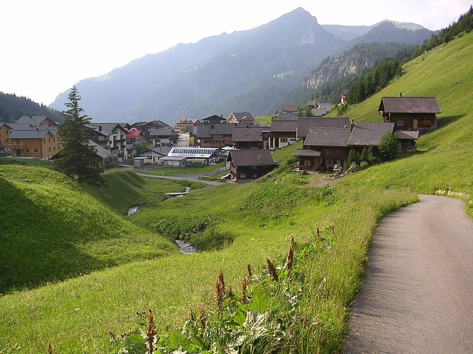
The climb above Vaduz brings the Rhine valley into view between settlements and wooded slopes. Beyond the tunnel, Steg opens into a quieter inner mountain valley. Malbun finishes the road journey in a resort basin; higher ridges belong to walking routes rather than a through-road crossing.
Triesenberg climb
Climbing above Vaduz reveals the broad Rhine valley between settlements and wooded slopes.
Steg
Beyond the tunnel, the setting turns inward to a quieter mountain valley and pasture.
Malbun
The road ends in a mountain resort basin; higher ridges belong to walking routes.
Roads from above
Look at the bends, road surface and landscape beside the carriageway. Each caption identifies the location; other roads in the range are marked separately.
Valo139 · CC BY-SA 4.0 · Thumbnail / display crop · Licence
32-Fuß-Freak · CC BY-SA 4.0 · Thumbnail / display crop · Licence
Werner Friedli · CC BY-SA 4.0 · Thumbnail / display crop · Licence
Road conditions & preparation
Check the road operator for snow closures and restrictions before departure.
Mountain landscapes
Photographs identify their actual location, author and licence. Viewpoints away from the riding corridor are stated in the captions; photographs are not verified ride records.
Fbieger at German Wikipedia · CC BY-SA 3.0 · Thumbnail / display crop · Licence
RomanDeckert · CC BY-SA 4.0 · Thumbnail / display crop · Licence
Mislep · CC BY 4.0 · Thumbnail / display crop · Licence
Sources & provenance
Summarised from public sources. A historic tourism plan describes a corridor, not current road access. Track authors retain ownership of their files.