The road & its landscape
Luxembourg’s northern uplands combine narrow river valleys with wooded ridges and castle settlements.
Planning corridor: Esch-sur-Sûre → Wiltz → Clervaux.
Why ride here
Luxembourg’s northern uplands combine narrow river valleys with wooded ridges and castle settlements.
Scenery along the road
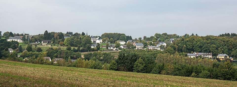
At Esch-sur-Sûre, the village and castle rock make the river bend immediately legible. The road then rises through wooded hills towards Wiltz before reaching the clustered buildings of Clervaux. Forest, valley floors and castle settlements supply the chapter’s changing scale.
Esch-sur-Sûre
The village sits inside a pronounced river bend, with houses below the castle rock.
Wiltz
The road climbs and falls through forested hills before reaching the valley town.
Clervaux
The castle and clustered buildings add a final human landmark among rounded wooded slopes.
Roads from above
Look at the bends, road surface and landscape beside the carriageway. Each caption identifies the location; other roads in the range are marked separately.
Other roads in this range
Some photographs show other roads, visitor access or historical alignments in this mountain region. Their captions identify the difference from this chapter’s main corridor; vehicle access is not inferred from the image.
Les Meloures at lb.wikipedia · CC BY-SA 3.0 lu · Thumbnail / display crop · Licence
Les Meloures at lb.wikipedia · CC BY-SA 3.0 · Thumbnail / display crop · Licence
Niceric9840 · CC BY-SA 4.0 · Thumbnail / display crop · Licence
Road conditions & preparation
Check the road operator for snow closures and restrictions before departure.
Mountain landscapes
Photographs identify their actual location, author and licence. Viewpoints away from the riding corridor are stated in the captions; photographs are not verified ride records.
MMFE · CC BY-SA 3.0 · Thumbnail / display crop · Licence
Cayambe · CC BY-SA 4.0 · Thumbnail / display crop · Licence
Teunie · CC BY-SA 3.0 · Thumbnail / display crop · Licence
Sources & provenance
Summarised from public sources. A historic tourism plan describes a corridor, not current road access. Track authors retain ownership of their files.