The road & its landscape
The old MEX-40 offers a winding road chapter in the Sierra Madre Occidental on the Durango side. The selected section reaches the Espinazo del Diablo viewpoint from El Salto, with deep forested ravines below the ridge road.
MEX-40 libre is distinct from toll road MEX-40D and the Baluarte bridge. This chapter stops on the Durango side; it does not recommend an automatic continuation through Sinaloa or include Mexiquillo’s walking trails.
Scenery along the road
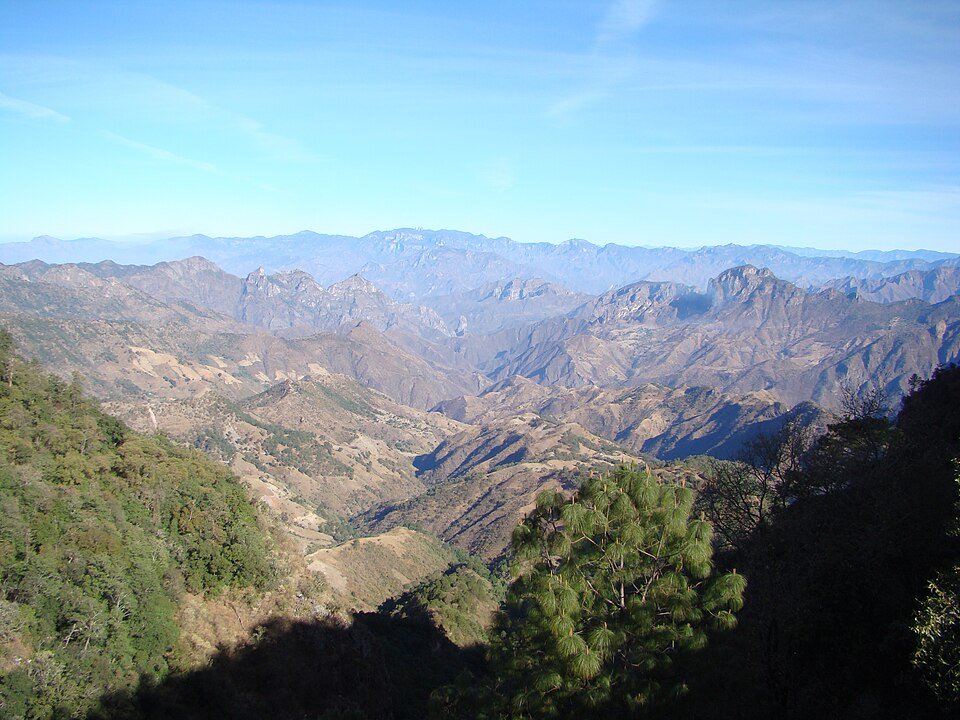
El Salto and La Ciudad sit in pine country. Beyond the Mexiquillo junction, the road follows increasingly exposed relief; at the Espinazo viewpoint, steep ravines and opposing ridges replace the close forest foreground.
El Salto to La Ciudad
Follow the public highway through the forested settlements, distinguishing the free road at junctions.
Mexiquillo junction to ridge road
Remain on MEX-40 as the terrain drops into deep ravines beside the road.
Espinazo viewpoint
Pause in the viewpoint area before returning; the scenic stop is not an instruction to stop in a bend.
Road conditions & preparation
Check local highway and security conditions before setting out, and ride in daylight. Fog and rain can obscure tight bends. Fill up in settled towns, keep brake and tyre condition suitable for prolonged gradients, and stop only in established viewpoints.
Mountain landscapes
Photographs identify their actual location, author and licence. Viewpoints away from the riding corridor are stated in the captions; photographs are not verified ride records.
panza.rayada · CC BY-SA 3.0 · Thumbnail / display crop · Licence
panza-rayada · CC BY-SA 3.0 · Thumbnail / display crop · Licence
Tereso Hernández · CC BY-SA 3.0 · Thumbnail / display crop · Licence
Sources & provenance
- Durango Tourism: Mexiquillo to Espinazo road itinerary ↗
- Visit Mexico: Espinazo and Sierra Madre Occidental ↗
- SCT: paved free-road bridge inventory, MEX-40 ↗
- FCDO: current regional travel advice ↗
Summarised from public sources. A historic tourism plan describes a corridor, not current road access. Track authors retain ownership of their files.