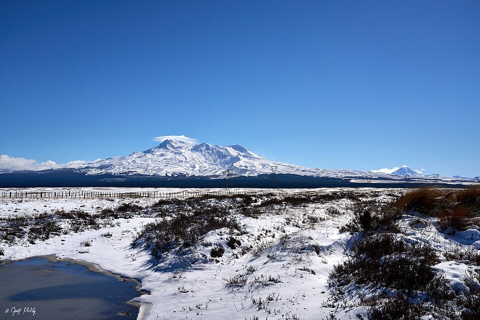
The road & its landscape
The Volcanic Loop goes around the mountain group, using open plateau roads to show Tongariro, Ngauruhoe and Ruapehu from changing angles.
Use the state-highway loop as the main corridor. Whakapapa and Ohakune mountain roads are optional out-and-back branches; the Tongariro Alpine Crossing is a walking route.
Why ride here
A defined road loop makes the relationship between several volcanic mountains visible over a continuous journey.
Scenery along the road
The western approach combines forest with openings towards the sacred peaks. The southern towns return the journey to a settled foreground before the eastern plateau exposes the volcanic silhouettes again. The loop stays below the summits.
Tūrangi to National Park Village
The western high ground alternates forest with openings towards the volcanic peaks.
Ohakune and Waiouru
The southern part of the loop brings villages and service stops below the mountain group.
Eastern plateau return
Open ground gives the volcanoes a wide foreground on the return towards Tūrangi; the road remains below the summits.
Road conditions & preparation
Check current highway conditions, mountain weather and park volcanic information. Keep mountain-road branches separate from the time and fuel plan for the main loop.
Mountain landscapes
Photographs identify their actual location, author and licence. Viewpoints away from the riding corridor are stated in the captions; photographs are not verified ride records.
Geoff McKay from Palmerston North, New Zealand · CC BY 2.0 · Thumbnail / display crop · Licence
Geoff McKay from Palmerston North, New Zealand · CC BY 2.0 · Thumbnail / display crop · Licence
Krzysztof Golik · CC BY-SA 4.0 · Thumbnail / display crop · Licence
Sources & provenance
- Visit Ruapehu: Volcanic Loop Highway ↗
- New Zealand Tourism: North Island touring map ↗
- Department of Conservation: Tongariro National Park ↗
Summarised from public sources. A historic tourism plan describes a corridor, not current road access. Track authors retain ownership of their files.