The road & its landscape
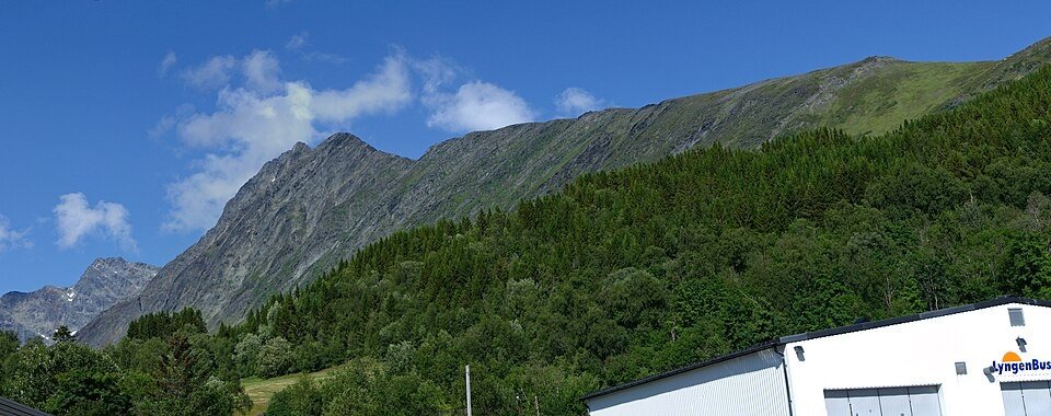
The Lyngen approach puts steep Arctic mountains beside fjord water instead of crossing a high summit road.
Planning corridor: Oteren → Lyngseidet → Svensby.
Why ride here
The Lyngen approach puts steep Arctic mountains beside fjord water instead of crossing a high summit road.
Scenery along the road
The Lyngen approach stays low beneath steep Arctic peaks. Settlements near Oteren lead to Lyngseidet, where the valley and ferry landing give the mountains a human scale. The cross-peninsula road towards Svensby changes the angle of the mountain walls; ferry connections are separate transport legs.
Oteren
The approach follows inhabited low ground between mountains and water.
Lyngseidet
The village and ferry setting give a clear stopping point for reading the fjord-side mountains.
Svensby
The road turns across the peninsula towards another fjord; ferry travel is a separate connection.
Road conditions & preparation
Check the road operator for snow closures and restrictions before departure.
Mountain landscapes
Photographs identify their actual location, author and licence. Viewpoints away from the riding corridor are stated in the captions; photographs are not verified ride records.
Antti Leppänen · CC BY 4.0 · Thumbnail / display crop · Licence
Algkalv (talk) · Public domain · Thumbnail / display crop · Licence
Frankemann · CC BY-SA 4.0 · Thumbnail / display crop · Licence
Sources & provenance
Summarised from public sources. A historic tourism plan describes a corridor, not current road access. Track authors retain ownership of their files.