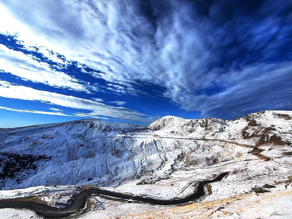
The road & its landscape
The Transalpina chapter climbs from inhabited foothills into open mountain pasture and exposed ridges.
Planning corridor: Novaci → Rânca → Urdele → Obârșia Lotrului · DN67C.
Why ride here
The Transalpina chapter climbs from inhabited foothills into open mountain pasture and exposed ridges.
Scenery along the road
The Transalpina rises from Novaci through forest to the resort buildings of Rânca, which mark the transition into open mountain country. Above them, the Urdele section follows exposed slopes and ridges. The descent towards Obârșia Lotrului returns to the headwaters and a more enclosed landscape.
Novaci
The lower approach leaves a small town for wooded mountain slopes.
Rânca
Resort buildings mark the transition towards higher, more open ground.
Urdele
The upper road follows open slopes before descending towards the Lotru headwaters.
Roads from above
Look at the bends, road surface and landscape beside the carriageway. Each caption identifies the location; other roads in the range are marked separately.
Saturnian · CC BY-SA 3.0 · Thumbnail / display crop · Licence
Olgierd Rudak · CC BY-SA 4.0 · Thumbnail / display crop · Licence
Giuseppe Milo from Dublin, Ireland · CC BY 2.0 · Thumbnail / display crop · Licence
Road conditions & preparation
Check the road operator for snow closures and restrictions before departure.
Mountain landscapes
Photographs identify their actual location, author and licence. Viewpoints away from the riding corridor are stated in the captions; photographs are not verified ride records.
paul bica · CC BY 2.0 · Thumbnail / display crop · Licence
Андрей Романенко · CC BY-SA 4.0 · Thumbnail / display crop · Licence
Olgierd Rudak · CC BY-SA 4.0 · Thumbnail / display crop · Licence
Sources & provenance
Summarised from public sources. A historic tourism plan describes a corridor, not current road access. Track authors retain ownership of their files.