The road & its landscape
This geographic corridor links two southern Ural towns below forested ridges; it is not a checked touring itinerary.
Planning corridor: Zlatoust → Miass · Southern Ural foothills.
Why ride here
This geographic corridor links two southern Ural towns below forested ridges; it is not a checked touring itinerary.
Scenery along the road
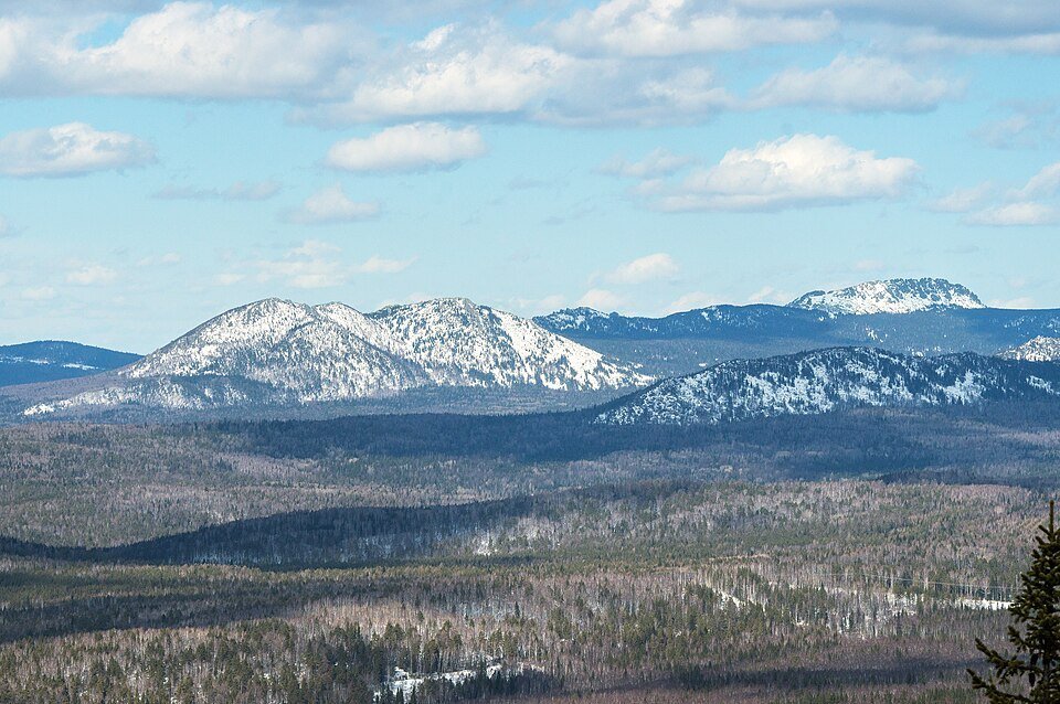
This southern Ural reference links the wooded slopes around Zlatoust with the inhabited valley near Miass. The emphasis is on rounded forest ridges above industrial towns, rather than a high summit crossing. Nearby national-park trails are separate visits; the chapter does not establish a checked touring itinerary.
Zlatoust
The industrial town sits among wooded mountain slopes.
Ural foothills
Connecting roads give regional views of rounded forest ridges rather than summit access.
Miass
The destination returns to settled valley ground; nearby national-park trails need separate permission checks.
Road conditions & preparation
Verify current official travel guidance and local road access before planning a journey.
Mountain landscapes
Photographs identify their actual location, author and licence. Viewpoints away from the riding corridor are stated in the captions; photographs are not verified ride records.
O.s.zlatoustovez · CC BY-SA 4.0 · Thumbnail / display crop · Licence
Quarkgluonplasma · CC BY-SA 3.0 · Thumbnail / display crop · Licence
Quarkgluonplasma · CC BY-SA 3.0 · Thumbnail / display crop · Licence
Sources & provenance
Summarised from public sources. A historic tourism plan describes a corridor, not current road access. Track authors retain ownership of their files.