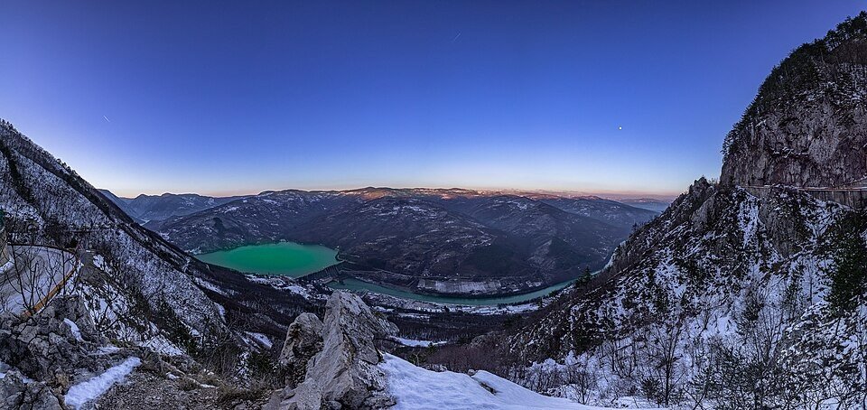
The road & its landscape
The Tara chapter climbs from the Drina valley into dense mountain forest and plateau settlements.
Planning corridor: Bajina Bašta → Kaluđerske Bare → Mitrovac.
Why ride here
The Tara chapter climbs from the Drina valley into dense mountain forest and plateau settlements.
Scenery along the road
The Tara approach begins in the settled Drina valley before climbing into dense forest. Kaluđerske Bare introduces a wooded resort setting, then the higher ground towards Mitrovac alternates pasture and conifers. Banjska Stena is a separate walking viewpoint rather than a point on a continuous riding line.
Bajina Bašta
The river-valley town establishes the lower landscape before the wooded climb.
Kaluđerske Bare
Forest roads reach a mountain resort setting surrounded by conifers.
Mitrovac
The plateau combines pasture and forest; Banjska Stena is reached on a separate walking route.
Roads from above
Look at the bends, road surface and landscape beside the carriageway. Each caption identifies the location; other roads in the range are marked separately.
Other roads in this range
Some photographs show other roads, visitor access or historical alignments in this mountain region. Their captions identify the difference from this chapter’s main corridor; vehicle access is not inferred from the image.
Marko Randjic · CC BY-SA 4.0 · Thumbnail / display crop · Licence
Road conditions & preparation
Check the road operator for snow closures and restrictions before departure.
Mountain landscapes
Photographs identify their actual location, author and licence. Viewpoints away from the riding corridor are stated in the captions; photographs are not verified ride records.
Andrejnihil · CC BY-SA 4.0 · Thumbnail / display crop · Licence
TarjaMitrovic · CC BY-SA 4.0 · Thumbnail / display crop · Licence
DJUKI · CC BY 3.0 · Thumbnail / display crop · Licence
Sources & provenance
Summarised from public sources. A historic tourism plan describes a corridor, not current road access. Track authors retain ownership of their files.